

Schöne Radroute, ideal für Familien!
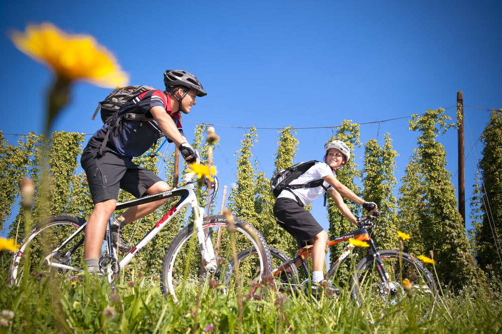
Die Besonderheit dieser Radroute ist die reizvolle Landschaft mit ihren Hopfenfeldern. Die Tour verläuft zum Großteil auf asphaltierten und hügeligen Nebenstraßen.
Ausgangspunkt dieser Tour ist beim GH Diendorfer in Neudorf.
Weg Nr. 809
Fordern Sie unsere Radkarte um EUR 3,00 hier an: info@boehmerwald.at!
Oder rufen Sie uns einfach an: Infotelefon +43 5 7890 100.
NEU: Elektrobikes im Verleih von Mai bis Oktober!
Further information at
http://www.boehmerwald.atMapa trasy a výškový profil
Minimum height 397 m
Maximum height 635 m
More about the tour author
|
|
aigen-schlaegl |
komentáre

Mit dem Auto
ab Linz: B127 bis Rohrbach - Haslach - Neudorf
ab Passau: Grenzübergang Breitenberg - Klaffer - Ulrichsberg - Aigen im Mühlkreis - Haslach - Neudorf
ab Tschechien: Grenzübergang Zadni Zvonkova/Schöneben - Ulrichsberg - Aigen im Mühlkreis - Haslach - Neudorf
Mit der Bahn ab Linz-Mühlkreisbahnhof bis Bhf Aigen-Schlägl http://www.oebb.at
Mit dem Bus http://www.oebb.at
GPS trasy
Trackpoints-
GPX / Garmin Map Source (gpx) download
-
TCX / Garmin Training Center® (tcx) download
-
CRS / Garmin Training Center® (crs) download
-
Google Earth (kml) download
-
G7ToWin (g7t) download
-
TTQV (trk) download
-
Overlay (ovl) download
-
Fugawi (txt) download
-
Kompass (DAV) Track (tk) download
-
list trasy (pdf) download
-
Original file of the author (gpx) download
More about the tour author
|
|
aigen-schlaegl |
Add to my favorites
Remove from my favorites
Edit tags
Open track
My score
Rate