Login

Zabudli ste prihlasovacia meno

Cookies have to be accepted!
Your browser's cookie functionality is disabled. Please enable this functionality.

Not a member yet?

Register now
Login

Available for registred users only

Log in to use this feature.

Zabudli ste prihlasovacia meno

Cookies have to be accepted!
Your browser's cookie functionality is disabled. Please enable this functionality.

Not a member yet?

Register now
Filter
Kategórie
Advanced filters
  • Dĺžka (km)
  • výškomer
Uložiť filter Reset filter

TrackRank

QRCode

Technical data

Dĺžka10,2 km výškomer200 m Way down194 m Doba04:00 h:m dátum01.05.2011
ohodnotenia Author Kraj pôžitok z túry kondícia technika

štatistika

364 náhľady ohodnotenia 26 Stiahnutia priemer
Rate
  • list trasy
  • príjazd
  • Stiahnutia
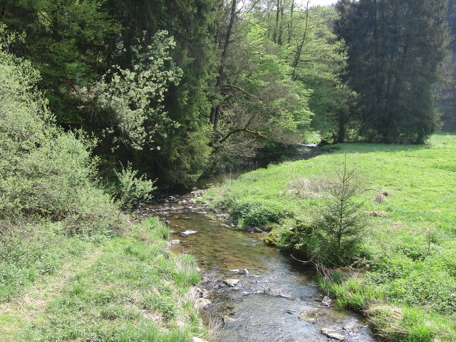
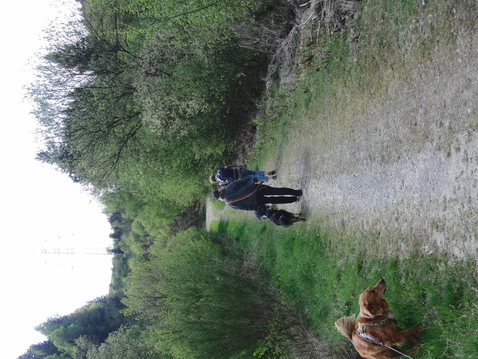
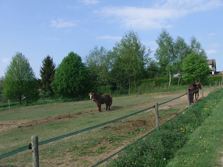
Wir starteten die Tour am Sportplatz Gusenburg .Über einen kleinen Pfad verliesen wir schon bald den Ort .Später  wechselten sich oft herrliche Aussichten und schöne schattige Waldwege ab. Genügend Bäche für unsere Hunde waren ebenso vorhanden.Teilweise folgten wir dem Saar-Hunsrück-Steig.Alles in allem ein wunderschöner gemütlicher 1. Mai Spaziergang.

galéria trás

Mapa trasy a výškový profil

  • Open Street Map
  • Google
Minimum height 406 m Maximum height 553 m Detailný pohľad

More about the tour author

DJBUSFAHRER
Member since 2008

Send private message

komentáre

BAB 1 bis Hermeskeil von dort Ausschilderung Gusenburg folgen.

GPS trasy

Trackpoints
  • GPX / Garmin Map Source (gpx) download
  • TCX / Garmin Training Center® (tcx) download
  • CRS / Garmin Training Center® (crs) download
  • Google Earth (kml) download
  • G7ToWin (g7t) download
  • TTQV (trk) download
  • Overlay (ovl) download
  • Fugawi (txt) download
  • Kompass (DAV) Track (tk) download
  • list trasy (pdf) download
  • Original file of the author (gpx) download

More about the tour author

DJBUSFAHRER
Member since 2008

Send private message
Share track
Add to my favorites
Remove from my favorites
Edit tags
My score
Rate
trasa: Kleine Runde um Gusenburg 1.Mai
Druh: trasa
Dĺžka: 10,2 km
Evaluated on:
Doba:
Day(s)
Hour(s)
Minute(s)
ohodnotenie: Kraj pôžitok z túry kondícia technika