Login

Zabudli ste prihlasovacia meno

Cookies have to be accepted!
Your browser's cookie functionality is disabled. Please enable this functionality.

Not a member yet?

Register now
Login

Available for registred users only

Log in to use this feature.

Zabudli ste prihlasovacia meno

Cookies have to be accepted!
Your browser's cookie functionality is disabled. Please enable this functionality.

Not a member yet?

Register now
Filter
Kategórie
Advanced filters
  • Dĺžka (km)
  • výškomer
Uložiť filter Reset filter

TrackRank

QRCode

Technical data

Dĺžka52,4 km výškomer1134 m Way down1117 m Doba00:00 h:m dátum02.05.2011
ohodnotenia Author Kraj pôžitok z túry kondícia technika

štatistika

332 náhľady ohodnotenia 59 Stiahnutia priemer
Rate
  • list trasy
  • príjazd
  • Stiahnutia
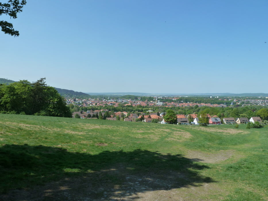
  1. Bin mit einigen Kollegen die Strecke von GPS TOUR.INFO (/de/touren/detail.36188.html) nachgefahren. Diese hat uns im Grossen und Ganzen sehr gut gefallen. Jedoch haben wir abseits der Wege noch einige Singeltrails gefunden, die viel Spaß bereitet haben. Den Schlenker um Altenau haben wir abgekürzt.


galéria trás

Mapa trasy a výškový profil

  • Open Street Map
  • Google
Minimum height 214 m Maximum height 696 m Detailný pohľad

More about the tour author

xav0300
Member since 2011

Send private message

komentáre

GPS trasy

Trackpoints
  • GPX / Garmin Map Source (gpx) download
  • TCX / Garmin Training Center® (tcx) download
  • CRS / Garmin Training Center® (crs) download
  • Google Earth (kml) download
  • G7ToWin (g7t) download
  • TTQV (trk) download
  • Overlay (ovl) download
  • Fugawi (txt) download
  • Kompass (DAV) Track (tk) download
  • list trasy (pdf) download
  • Original file of the author (gpx) download

More about the tour author

xav0300
Member since 2011

Send private message
Share track
Add to my favorites
Remove from my favorites
Edit tags
My score
Rate
trasa: Harztour
Druh: horský bicykel
Dĺžka: 52,4 km
Evaluated on:
Doba:
Day(s)
Hour(s)
Minute(s)
ohodnotenie: Kraj pôžitok z túry kondícia technika