


Einmal um den großen See im Berlier Osten.
Los geht es am S-Bahnhof Rahnsdorf. Nach Süden zum Hafen um mit der Fähre an das andere Ufer überzusetzen. Das Schiff legt immer zur vollen Stunde ab.
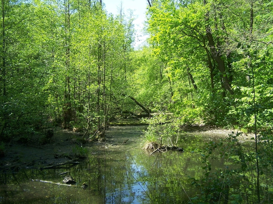
Der weitere Weg ist einfach. Immer am Ufer entlang. Das schöne ist dass es Einkehrmöglichkeiten gibt. (Waldrestaurant Müggelhort, Hotel Müggelsee Berlin, Müggelsee-Terrassen Rübezahl).
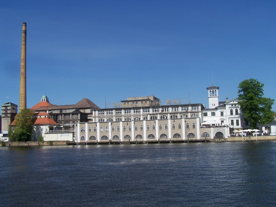
Die Spree wird in Richtung Friedrichshagen im Tunnel unterquert.
Wer müde ist geht eine nette Shoppingmeile bis zum S-Bahnhof Friedrichshagen.
Wir haben den Kreis per pedes vollgemacht. Nach dem Ort wird es im Wald wieder schöner.
Viel Spass.
Further information at
http://de.wikipedia.org/wiki/M%C3%BCggelseegaléria trás


Mapa trasy a výškový profil
Minimum height 24 m
Maximum height 42 m
More about the tour author
|
|
Pheinz |
komentáre

Mit der S-Bahn bis S-Bahnhof Rahnsdorf
GPS trasy
Trackpoints-
GPX / Garmin Map Source (gpx) download
-
TCX / Garmin Training Center® (tcx) download
-
CRS / Garmin Training Center® (crs) download
-
Google Earth (kml) download
-
G7ToWin (g7t) download
-
TTQV (trk) download
-
Overlay (ovl) download
-
Fugawi (txt) download
-
Kompass (DAV) Track (tk) download
-
list trasy (pdf) download
-
Original file of the author (gpx) download
More about the tour author
|
|
Pheinz |
Add to my favorites
Remove from my favorites
Edit tags
Open track
My score
Rate