

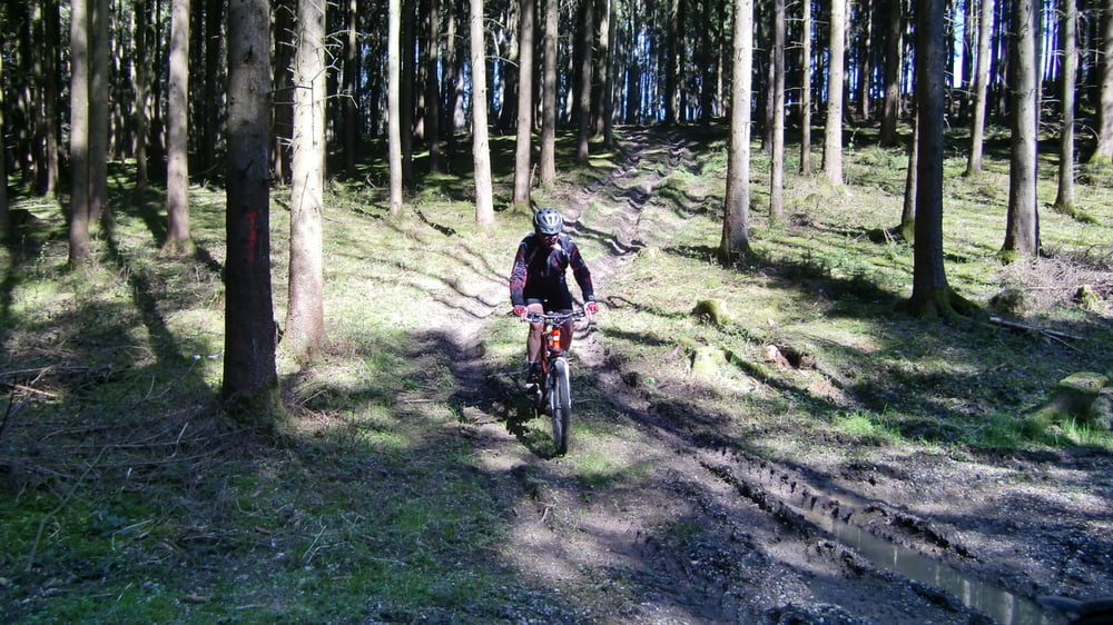
Wirtschastswege, wenig Teer, manche Trails sind schwer zu finden und im Frühjahr und Sommer stark zugewachsen d.h. Dornen und Brennesseln - solange es trocken ist lassen sich die Trails sehr gut fahren, wenn es geregnet hat sind große Pfützen und schlamm zu erwarten.
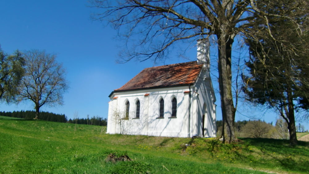
Update: vom 11.11.2012 Um den Pfützen und Matsch zu entkommen, kann man an der kleinen Waldkapelle geradeaus den Taferlweg weiterfahren. Wenn man aus dem Wald heraus kommt trift man auf die Orginalrute. Um den Dornengestrüpp zu entkommen solte man an der nächsten Abbiegung nicht rechts sondern links an dem Hühnergehge vorbei und die nächste möglichkeit re abbiegen, den Berg herauf, im Wald trifft man auf die alte Spur.
galéria trás

Mapa trasy a výškový profil
Minimum height 320 m
Maximum height 500 m
More about the tour author
|
|
GILBERTMU |
komentáre

GPS trasy
Trackpoints-
GPX / Garmin Map Source (gpx) download
-
TCX / Garmin Training Center® (tcx) download
-
CRS / Garmin Training Center® (crs) download
-
Google Earth (kml) download
-
G7ToWin (g7t) download
-
TTQV (trk) download
-
Overlay (ovl) download
-
Fugawi (txt) download
-
Kompass (DAV) Track (tk) download
-
list trasy (pdf) download
-
Original file of the author (gpx) download
More about the tour author
|
|
GILBERTMU |
Add to my favorites
Remove from my favorites
Edit tags
Open track
My score
Rate