

Die Tour beginnt und endet direkt am Parkplatz der Autobahnausfahrt Murnau/Kochel (A95).
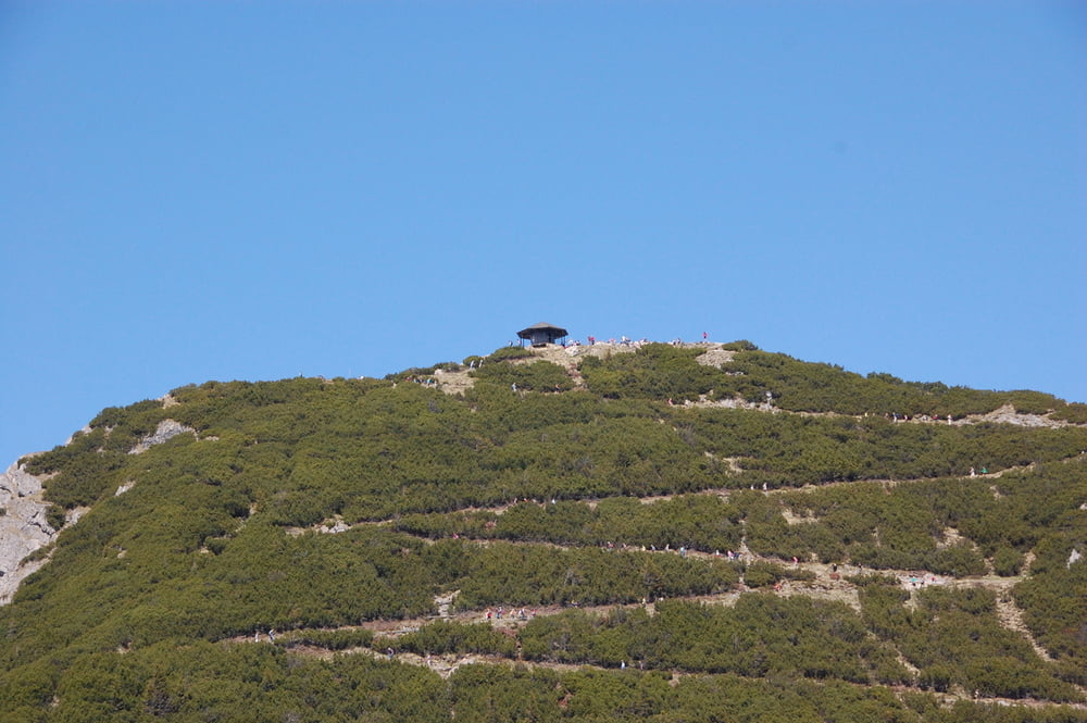
Gleich zu Beginn gibt es 250hm Aufstieg zur Kreutalm, danach geht es nochmal kurz bergab, bevor 1000hm am Stück zum Herzigstand anstehen. Ab und zu sind einige steile Rampen mit über 20% zu bewältigen, wo man evtl. auch mal absteigen und schieben muss.
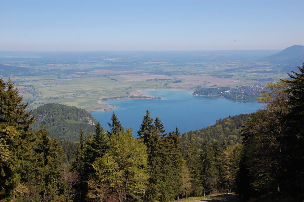
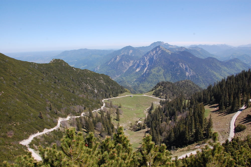
Bergab geht es zunächst auf gleichem Weg zurück, bevor man auf die alte Kesselbergstrasse abzweigt. Hier sind ein paar schöne Stufen und grobes Geröll zu meistern. Unten angekommen geht es dann um den Kochelsee zurück zum Startpunkt.
Wegen der steilen Auffahrt wird man manchmal etwas schieben müssen, ansonsten ist alles fahrbar.
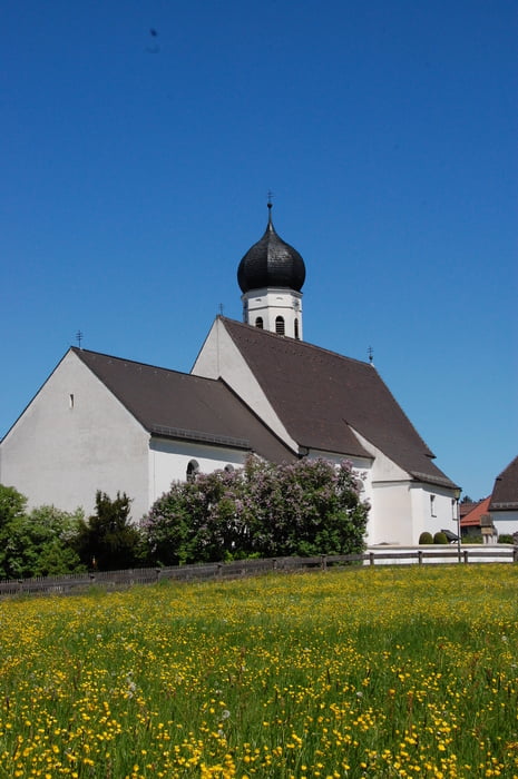
galéria trás
Mapa trasy a výškový profil
Minimum height 603 m
Maximum height 1561 m
More about the tour author

|
broken.frame |
komentáre
GPS trasy
Trackpoints-
GPX / Garmin Map Source (gpx) download
-
TCX / Garmin Training Center® (tcx) download
-
CRS / Garmin Training Center® (crs) download
-
Google Earth (kml) download
-
G7ToWin (g7t) download
-
TTQV (trk) download
-
Overlay (ovl) download
-
Fugawi (txt) download
-
Kompass (DAV) Track (tk) download
-
list trasy (pdf) download
-
Original file of the author (gpx) download
More about the tour author
|
|
broken.frame |
Add to my favorites
Remove from my favorites
Edit tags
Open track
My score
Rate
coole Tour
Super Tour.