


Das Schlaubetal ist richtig toll.
Ich hätte nicht gedacht, dass in der Nähe von Eisenhüttenstadt ein solch tolles Tal existiert.
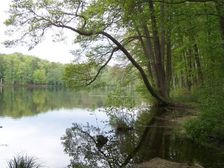
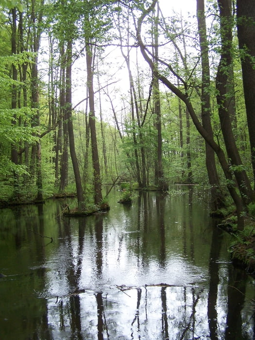
Der Rundweg startet auf dem Parkplatz an der B246. Die Jugendherberge links liegen lassen und über eine kleine Brücke an der Mühle. Gleich danach eine Riesentreppe den Berg hinauf und durch einen wunderschönen Wald. Bald danach ist der kleine Treppelsee erreicht.
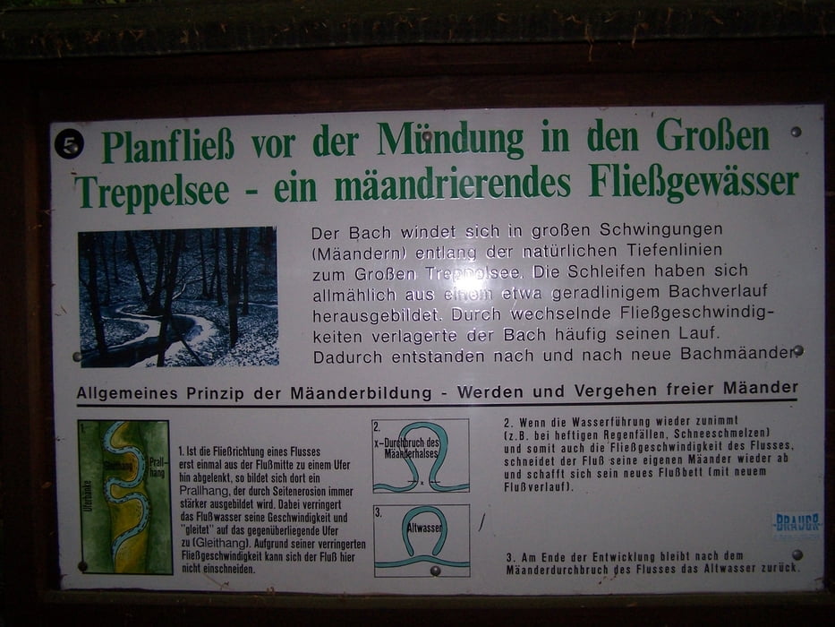
Etwas weglos habe ich den See verlassen und die Bundesstraße gequert. Danach ist die Wegsuche einfach. Den großen Treppelsee einfach umrunden. Immer wieder gibt es schöne Ausblicke und z.B. auch mal was lehrreiches zu sehen. Bemerkenswert ist eine Vogelbeobachtungshütte.
Der nördlichste Punkt ist eine nette Brücke über die Schlaube.
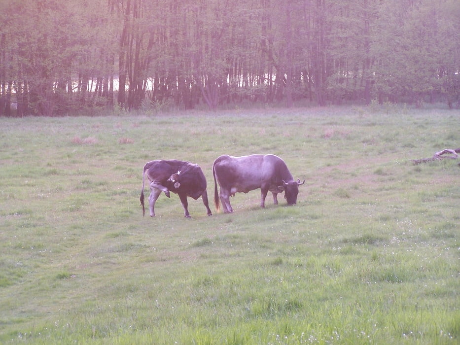
Der Rückweg am See und an einer Viehweide mit urtümlichen Rindern entlang st ebenso schön wie der Hinweg.
Toller Weg, hat Spass gemacht.
Further information at
http://de.wikipedia.org/wiki/Treppelseegaléria trás
Mapa trasy a výškový profil
Minimum height 44 m
Maximum height 79 m
More about the tour author
|
|
Pheinz |
komentáre

Parkplatz an der B246 an der Jugenherberge.
GPS trasy
Trackpoints-
GPX / Garmin Map Source (gpx) download
-
TCX / Garmin Training Center® (tcx) download
-
CRS / Garmin Training Center® (crs) download
-
Google Earth (kml) download
-
G7ToWin (g7t) download
-
TTQV (trk) download
-
Overlay (ovl) download
-
Fugawi (txt) download
-
Kompass (DAV) Track (tk) download
-
list trasy (pdf) download
-
Original file of the author (gpx) download
More about the tour author
|
|
Pheinz |
Add to my favorites
Remove from my favorites
Edit tags
Open track
My score
Rate