


Eine Standardtour in die Pfalz. Start in Stutensee. Von hier aus durch den Hardtwald in Richtung Rheinbrücke >Maximilianau. Dort den Radweg in Richtung Lauterbourg/Elsaß. Bei Berg den Rhein verlassen und in Richtung Büchelberg fahren. Keine Angst, Büchelberg ist kein richtiger Berg mehr ein Hügel aber schön. Dann über Minfeld nach Kandel. Nach genau 50km kann man sich im Schalander eine Pause gönnen.
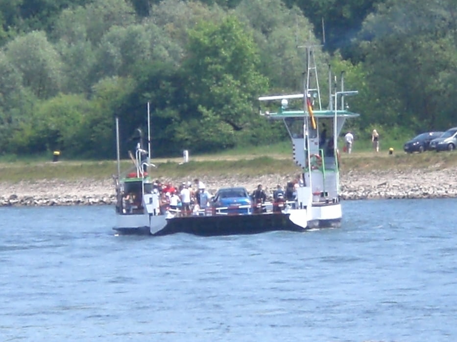
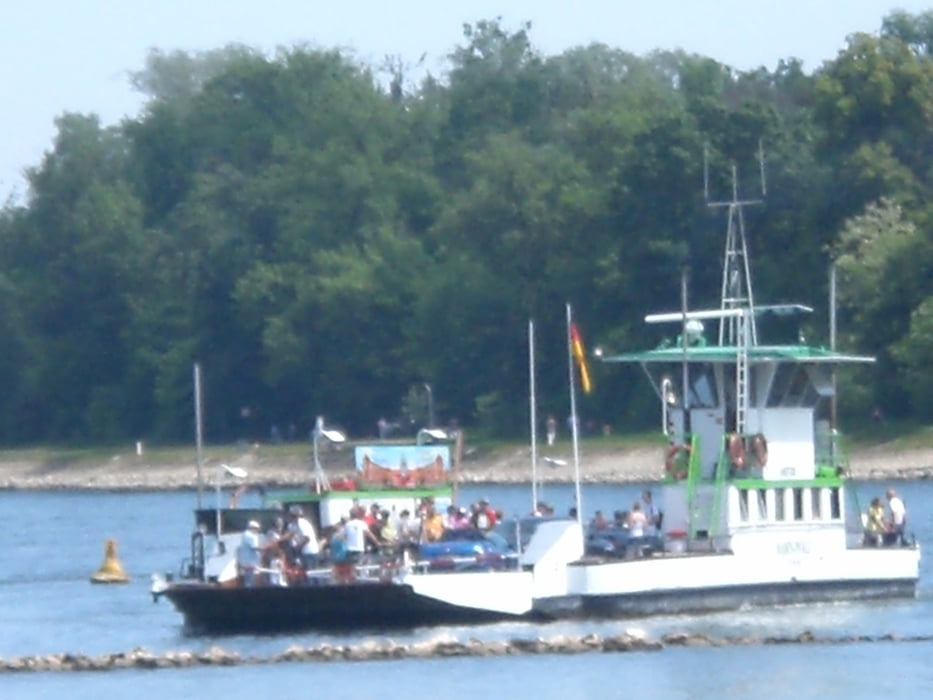
Nach der Pause über Jockgrim wieder zum Rheinradweg in Richtung Germersheim. Dann über die Fähre und ab nach Hause. rheinfaehre-leimersheim.de/Home.html.
Eine schöne Tour bei super Wetter. Unbedingt nachfahren.
galéria trás
Mapa trasy a výškový profil
Minimum height 74 m
Maximum height 109 m
More about the tour author
|
|
Albert59 |
komentáre

GPS trasy
Trackpoints-
GPX / Garmin Map Source (gpx) download
-
TCX / Garmin Training Center® (tcx) download
-
CRS / Garmin Training Center® (crs) download
-
Google Earth (kml) download
-
G7ToWin (g7t) download
-
TTQV (trk) download
-
Overlay (ovl) download
-
Fugawi (txt) download
-
Kompass (DAV) Track (tk) download
-
list trasy (pdf) download
-
Original file of the author (tcx) download
More about the tour author
|
|
Albert59 |
Add to my favorites
Remove from my favorites
Edit tags
Open track
My score
Rate