


Tolle Runde von Riva gestartet!
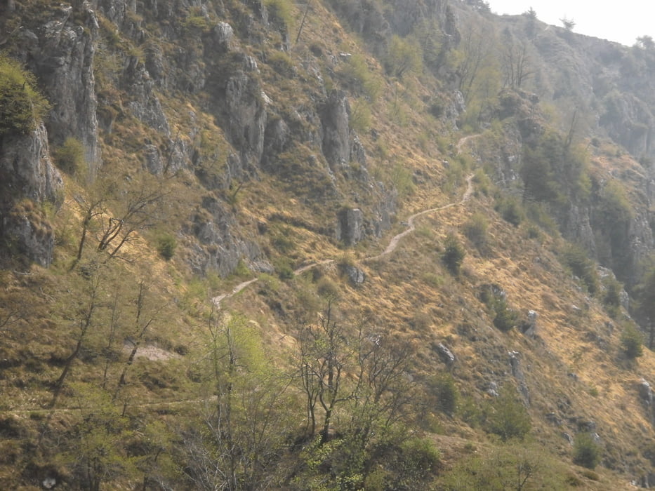
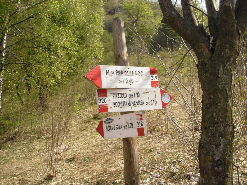
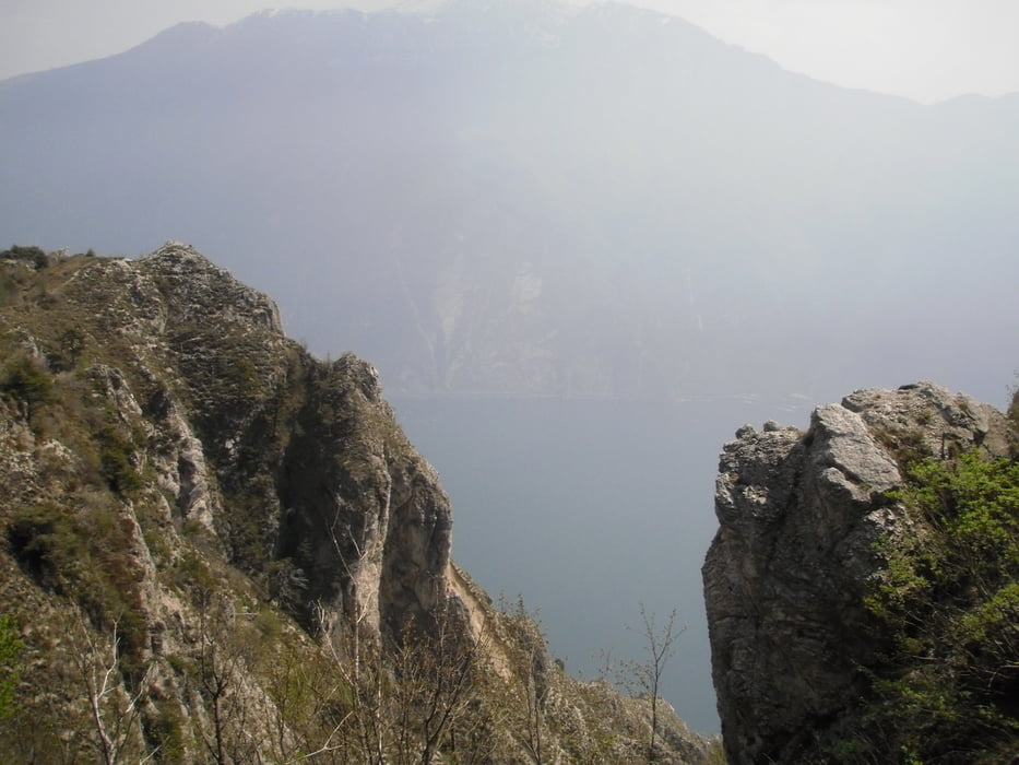
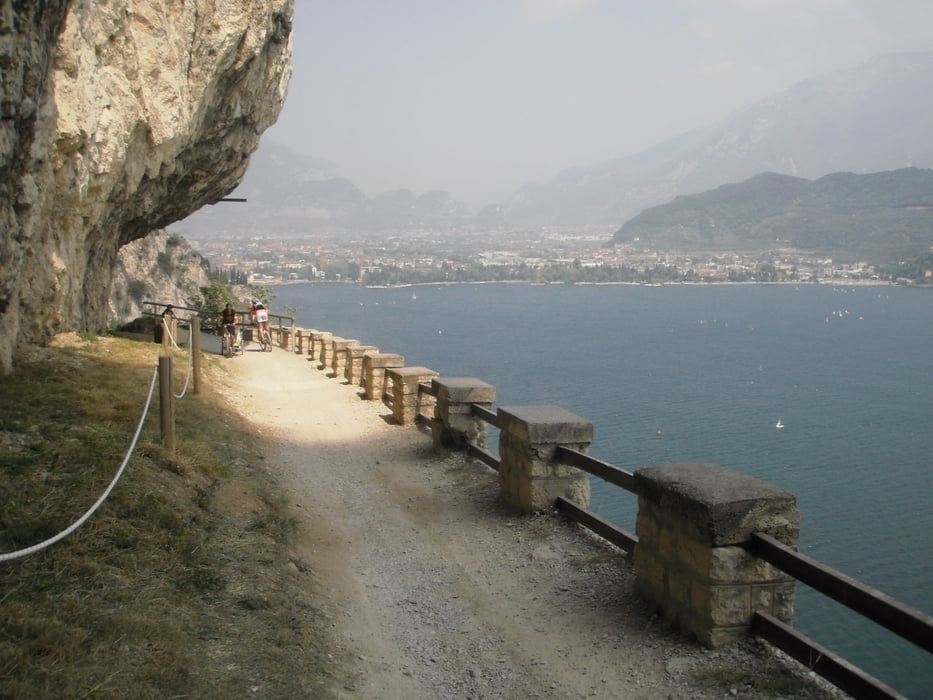
mit dem Boot nach Limone um den Verkehr auszuweichen,dann rauf nach Vesio,angenehme Steigung,rüber zur Molkerei.ab hier nur mehr Forststraßen und Trails. in schönen Serpentinen Richtung Monte Cocca.hier ist Bikebeherschung gefragt.(schmale Trails tiefer Abgrund rauf und runter) einmal muß ein eingebrochener Tunnel überstiegen werden. Bei der Abzweigung ins Noci-Tal gerade aus bleiben bis zum Bocca di Fobia.ab hier gehts in einen schönen Trail S2 ca 4km lang.!man mündet an dem Gegenanstieg zum Passa Nota ca 400hmt . von hier aus Richtung Bocca dei Fortini und weiter zum Passo Guil. Hier kommt der nächste Traumwaldtrail, runter ein traum zum fahren,rauf eine Schinderei,"darum runter"man kommt auf einer Forststraße nähe Malga Palaer raus.Hier bin ich rechts gefahren runter nach Pregasina.(man könnte hier auch links fahren ca 400mt dann Abzweig nach rechts in einen kniffligen Trail nach Pregasina siehe nächste Tour Prati di Guil) ca S2 .In Pregasina die bekannte Ponalestraße zum Ausgangspunkt in Riva.
galéria trás
Mapa trasy a výškový profil
Minimum height 77 m
Maximum height 1346 m
More about the tour author
|
|
josef_zinganel |
komentáre

GPS trasy
Trackpoints-
GPX / Garmin Map Source (gpx) download
-
TCX / Garmin Training Center® (tcx) download
-
CRS / Garmin Training Center® (crs) download
-
Google Earth (kml) download
-
G7ToWin (g7t) download
-
TTQV (trk) download
-
Overlay (ovl) download
-
Fugawi (txt) download
-
Kompass (DAV) Track (tk) download
-
list trasy (pdf) download
-
Original file of the author (gpx) download
More about the tour author
|
|
josef_zinganel |
Add to my favorites
Remove from my favorites
Edit tags
Open track
My score
Rate