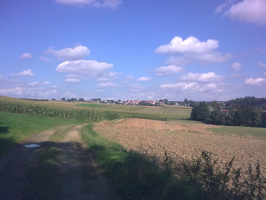
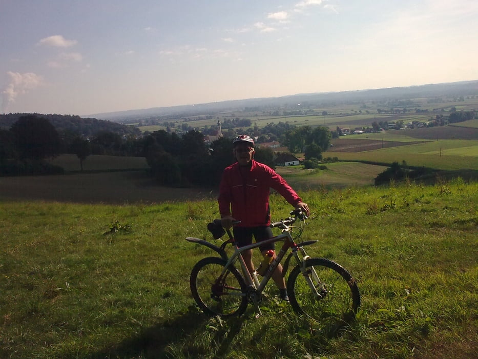
Wem es noch nicht reicht der kann die Tour auch nochmal zurück fahren! - wer dann nirgends absteigen muß, dem möchte ich ein Weizenbier ausgeben! falls ich noch ein paar schöne Trails nicht kenne bitte melden!
galéria trás
Mapa trasy a výškový profil
Minimum height 335 m
Maximum height 490 m
komentáre
GPS trasy
Trackpoints-
GPX / Garmin Map Source (gpx) download
-
TCX / Garmin Training Center® (tcx) download
-
CRS / Garmin Training Center® (crs) download
-
Google Earth (kml) download
-
G7ToWin (g7t) download
-
TTQV (trk) download
-
Overlay (ovl) download
-
Fugawi (txt) download
-
Kompass (DAV) Track (tk) download
-
list trasy (pdf) download
-
Original file of the author (gpx) download
Add to my favorites
Remove from my favorites
Edit tags
Open track
My score
Rate


die steilsten Rampen
bier schmeckt auch mit oder ohne absteigen.