


Von Frankfurt geht es über Forstwege und Trails bergauf bis zum Fuchstanz.
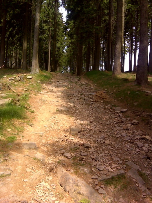
Über schwieriges Terrain führt der trail zum kleinen Feldberg und von dort bergab bis es wieder über einen kurzen Anstieg auf den Weilberg geht.
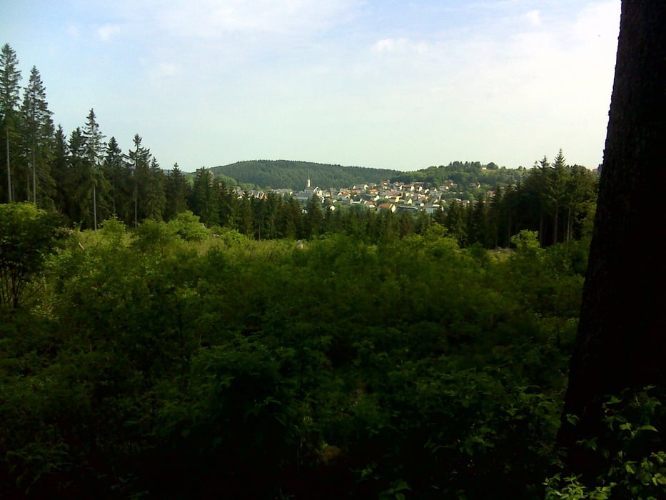
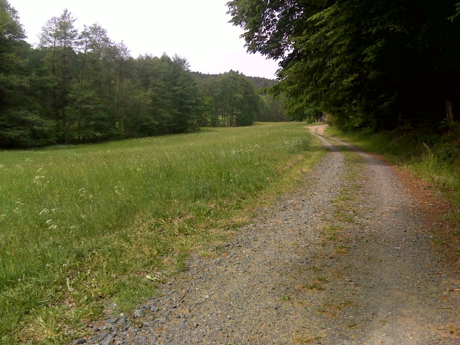
Von hier an ziehen sich überwiegend Forstwege tendenziell bergab entlang an wunderschönen Tälern und Landschaften.
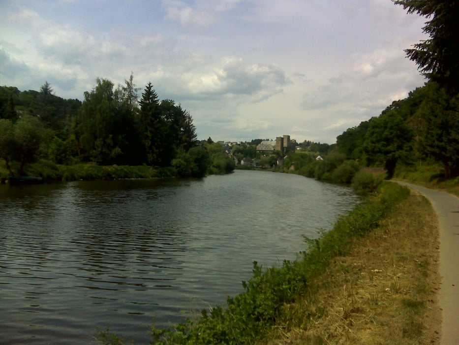
In Villmar gelangt man an die Lahn. Diese folgen wir ein paar Kilometer westwärts bis es in Runkel wieder bergauf bis Waldbrunn geht.
galéria trás
Mapa trasy a výškový profil
Minimum height 81 m
Maximum height 798 m
More about the tour author

|
hans1969 |
komentáre

GPS trasy
Trackpoints-
GPX / Garmin Map Source (gpx) download
-
TCX / Garmin Training Center® (tcx) download
-
CRS / Garmin Training Center® (crs) download
-
Google Earth (kml) download
-
G7ToWin (g7t) download
-
TTQV (trk) download
-
Overlay (ovl) download
-
Fugawi (txt) download
-
Kompass (DAV) Track (tk) download
-
list trasy (pdf) download
-
Original file of the author (gpx) download
More about the tour author
|
|
hans1969 |
Add to my favorites
Remove from my favorites
Edit tags
Open track
My score
Rate