


-Start zwischen Rückersdorf und Lauf.
-Über klingenden Wasserfall geht es den Moritzberg hinauf, aber nicht ganz hoch. Die steile Schiebepassage umgehen wir über einen schmalen Pfad am Hang. (auf meiner Garmin Map nicht eingezeichnet, aber es gibt ihn!)
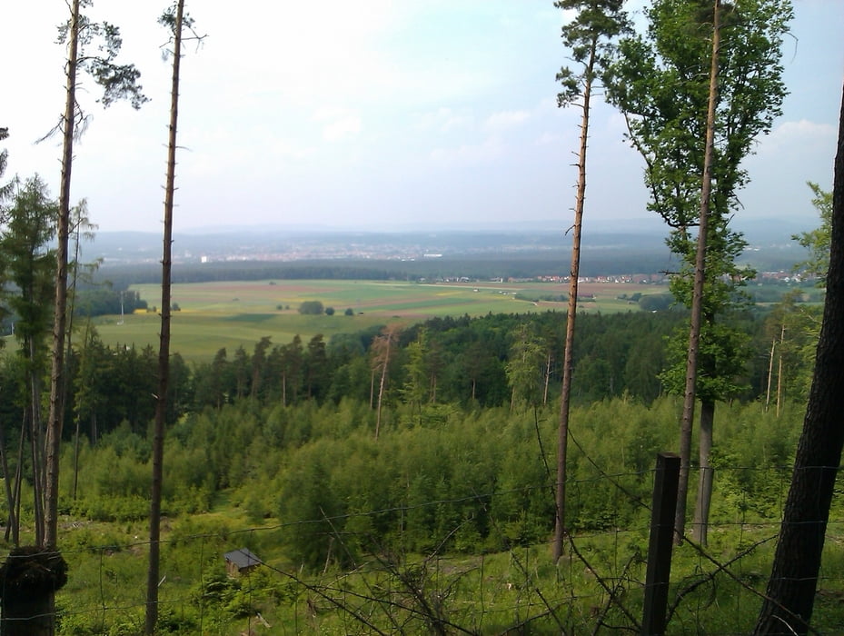
-Jetzt recht entspannt über Dörfer und Wiesen bis zum Arzberg. Schöne Auffahrt mit Einkehrmöglichkeit auf der Edelweißhütte. Den Gipfel mit Arzbergturm lassen wir links liegen und freuen uns schon auf die prima Abfahrt zum Happburger Stausee.
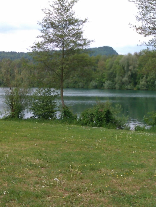
-Danach zum Happburger Baggersee ( Bademöglichkeit) und ab hier die letzten 15km locker ausrollen lassen (außer bei Gegenwind ;-))
galéria trás
Mapa trasy a výškový profil
Minimum height 314 m
Maximum height 547 m
More about the tour author

|
Schraubenbein |
komentáre

GPS trasy
Trackpoints-
GPX / Garmin Map Source (gpx) download
-
TCX / Garmin Training Center® (tcx) download
-
CRS / Garmin Training Center® (crs) download
-
Google Earth (kml) download
-
G7ToWin (g7t) download
-
TTQV (trk) download
-
Overlay (ovl) download
-
Fugawi (txt) download
-
Kompass (DAV) Track (tk) download
-
list trasy (pdf) download
-
Original file of the author (gpx) download
More about the tour author
|
|
Schraubenbein |
Add to my favorites
Remove from my favorites
Edit tags
Open track
My score
Rate