

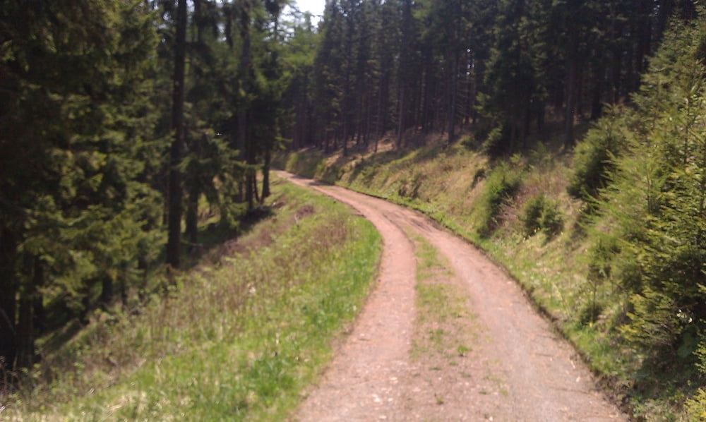
Die Strecke folgt von Mixnitz aus zunächst der Lanstrasse und später dem Forstweg rauf zur Teichalm. Oben angekommen, warten nochmals 250 Hm bis zum höchsten Punkt der Strecke (der Gipfel von Schweineck). Danach geht es wieder runter zur Teichalm (hier muss man das Rad ein paar mal ueber verschieden Zaeune heben). Schliesslich ueber die Tyrnauer Alm und dem Heuberggraben retour nach Mixnitz.
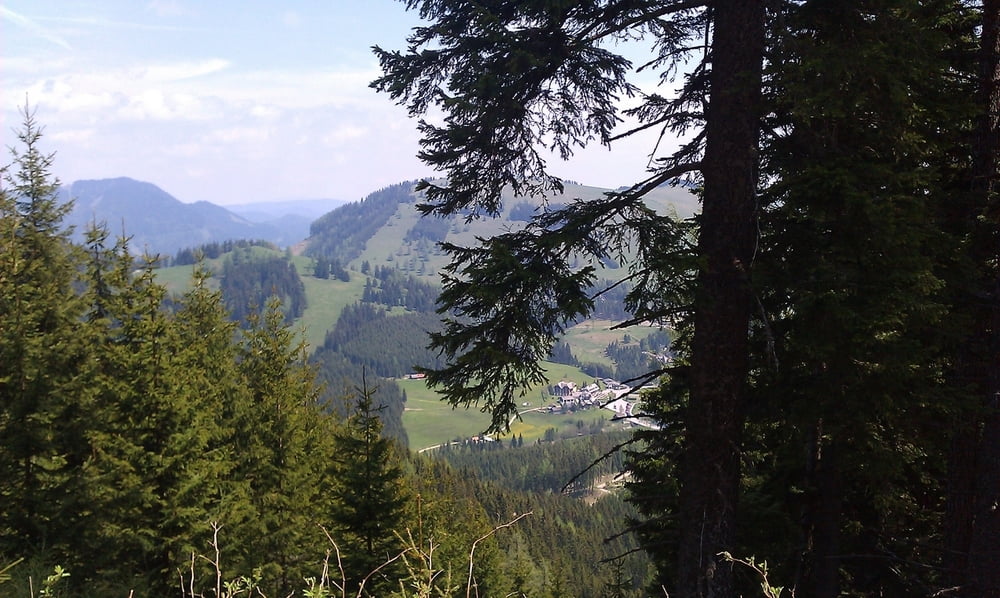
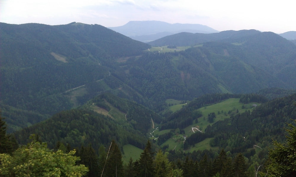
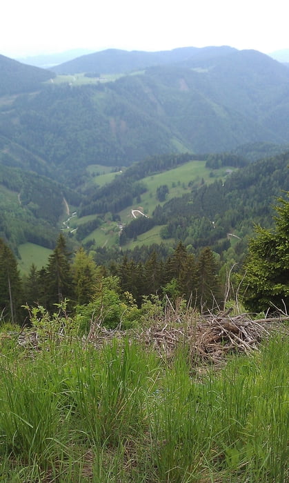
Tolle, landschaftlich schöne Runde (auf jeden Fall viel schöner als die Bilder, die wir mit dem Handy aufgenommen haben).
Die beste Einkehrmöglichkeit ist die Tyrnauer Hütte. Viel romantischer als die Touristenburgen auf der Teichalm.
galéria trás

Mapa trasy a výškový profil
Minimum height 440 m
Maximum height 1411 m
More about the tour author
|
|
keywan |
komentáre
GPS trasy
Trackpoints-
GPX / Garmin Map Source (gpx) download
-
TCX / Garmin Training Center® (tcx) download
-
CRS / Garmin Training Center® (crs) download
-
Google Earth (kml) download
-
G7ToWin (g7t) download
-
TTQV (trk) download
-
Overlay (ovl) download
-
Fugawi (txt) download
-
Kompass (DAV) Track (tk) download
-
list trasy (pdf) download
-
Original file of the author (gpx) download
More about the tour author
|
|
keywan |
Add to my favorites
Remove from my favorites
Edit tags
Open track
My score
Rate
Tour
Hat mir für die Panung der Wochendtou gut weiter geholfen. http://www.bikemap.net/de/route/3112128-teichalmrunde/
Grüße, David