Kniebiser Heimatpfad
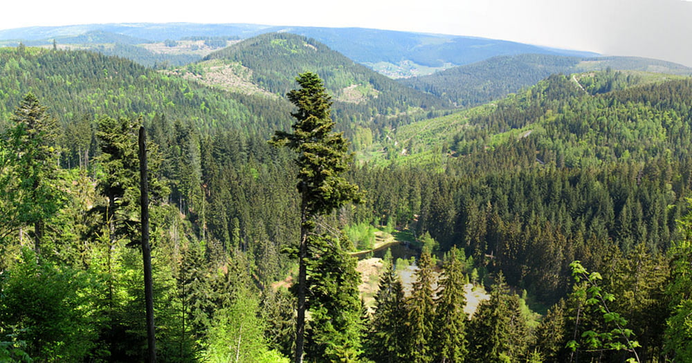
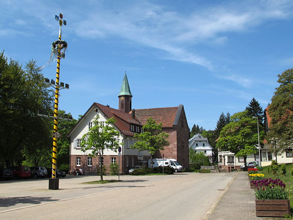
Der Kniebiser Heimatpfad ist ein Rundweg und gut ausgeschildert. Über leicht begehbare Wege lässt es sich prima laufen. Unterwegs gibt es Sehenswürdigkeiten, die mit Schautafeln beschrieben sind.
Further information at
http://www.wanderseite.net/strecken2011/freudenstadt/galéria trás
Mapa trasy a výškový profil
Minimum height 866 m
Maximum height 949 m
komentáre

GPS trasy
Trackpoints-
GPX / Garmin Map Source (gpx) download
-
TCX / Garmin Training Center® (tcx) download
-
CRS / Garmin Training Center® (crs) download
-
Google Earth (kml) download
-
G7ToWin (g7t) download
-
TTQV (trk) download
-
Overlay (ovl) download
-
Fugawi (txt) download
-
Kompass (DAV) Track (tk) download
-
list trasy (pdf) download
-
Original file of the author (gpx) download
Add to my favorites
Remove from my favorites
Edit tags
Open track
My score
Rate


