


Werdauer Wald Runde
40,6 km knapp 2h
Meine Schwima wohnt in Werdau. Ich komme aus dem Erzgebirge.
Wenn es die Zeit erlaubt, bin ich im schönen Werdauer Wald zu Fuss oder per Rad unterwegs.
Gefällt mir immer sehr gut.
Start in Richtung Leubnitz Forst. Dann geht es in den Werdauer Wald. Über den Tischberg geht es in Richtung Teihwolframsdorf.
Wir fahren aber nicht in den Ort rein. Es geht in Richtung Schlötenmühle und weiter nach Neumühle (Knottenmühle) schließlich zur Brettmühle.
Eine Brettmühle gibt es auch bei uns (Königswalde bei Annaberg / Brettmühle).
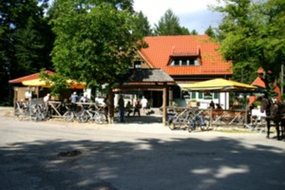
Über den Hirschstein geht es nach Greiz. Von hier aus zum Waldhaus. Hier kann man Rast machen. Ein kleiner Wildpark lädt zum Verweilen ein.
Wir schlagen uns über die Weidmannsruh wieder Richtung Leubnitz. In Leubnitz biegen wir links ab und fahren in Richtung Leubnitz Forst.
Oben angekommen ist wieder der vertraute Weg. Wir rollen zurück zum Startpunkt.
Fazit:
tolle Runde ... empfehlenswert
galéria trás
Mapa trasy a výškový profil
Minimum height 249 m
Maximum height 426 m
More about the tour author
|
|
Stummi |
komentáre

GPS trasy
Trackpoints-
GPX / Garmin Map Source (gpx) download
-
TCX / Garmin Training Center® (tcx) download
-
CRS / Garmin Training Center® (crs) download
-
Google Earth (kml) download
-
G7ToWin (g7t) download
-
TTQV (trk) download
-
Overlay (ovl) download
-
Fugawi (txt) download
-
Kompass (DAV) Track (tk) download
-
list trasy (pdf) download
-
Original file of the author (gpx) download
More about the tour author
|
|
Stummi |
Add to my favorites
Remove from my favorites
Edit tags
Open track
My score
Rate