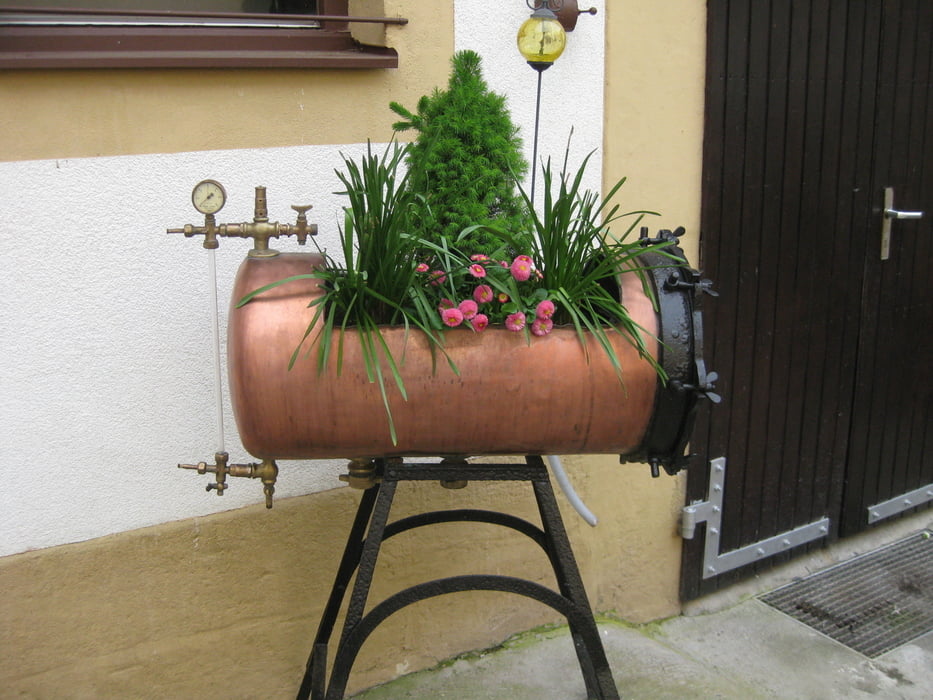
2011 startete unsere jährliche Bierwanderung an der "Küpser Linde" oberhalb von Oberküps. Schon hier bietet sich gerade im Frühjahr ein herrlicher Blicke über das frische Grün im weitlaufenden Tal.
Wer mehr lesen möchte, geht bitte auf untenstehenden Link.
Further information at
http://www.wandern-im-coburger-land.de/bierwanderung2011.htmlgaléria trás
Mapa trasy a výškový profil
Minimum height 302 m
Maximum height 573 m
komentáre

Über die A 73 bis zur Ausfahrt Ebensfald. Dann auf der ST 2187 über Prächting, Kleukheim, Unterküps nach Oberküops. Ab hier gehts zu Fuß weiter.
GPS trasy
Trackpoints-
GPX / Garmin Map Source (gpx) download
-
TCX / Garmin Training Center® (tcx) download
-
CRS / Garmin Training Center® (crs) download
-
Google Earth (kml) download
-
G7ToWin (g7t) download
-
TTQV (trk) download
-
Overlay (ovl) download
-
Fugawi (txt) download
-
Kompass (DAV) Track (tk) download
-
list trasy (pdf) download
-
Original file of the author (gpx) download
Add to my favorites
Remove from my favorites
Edit tags
Open track
My score
Rate


