


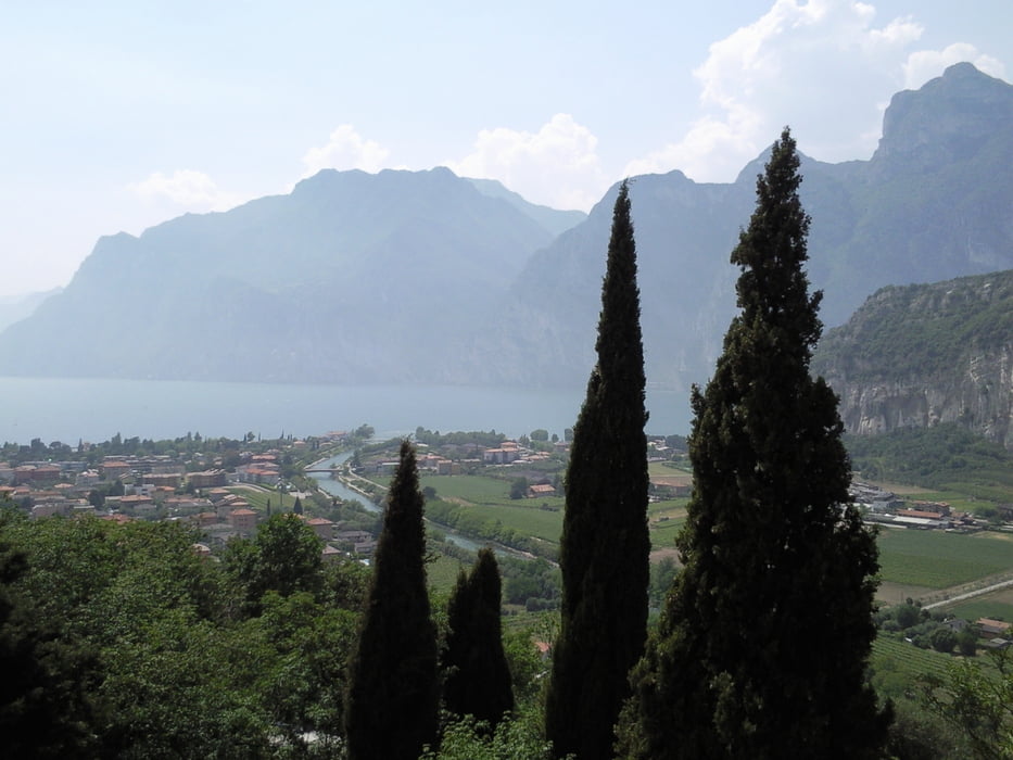
Vom Campingplatz Monte Brione in Riva geht es am See Richtung Torbole. Ab hier am Hotel Centrale, in Richtung "Parc Le Busatte, Mt. Altissimo, Sent.601". Der Weg ist lange asphaltiert, schmal aber nicht völlig verkehrsfrei. Bei ca 1500Hm endet der Asphalt und die zuvor mäßige Steigung 5-10% wird nun auf dem teilweise groben und losem Schotter gegen Ende steiler 20%. Der Weg geht bis an eine Wegkreuzung der Wege 601 und 624. Wir folgen dem Weg 624 Richtung Rifugio Malaga Campi, wo man einkehren kann. Von dort aus geht es steil bergab Richtung Bretonico teilweise betoniert, teilweise Schotter. Man folgt kleinen Schildern mit der Aufschrift "MTB", passiert die Orte Castione und Sano wobei es auf Asphalt, Beton oder kurzenTrails teilweise auch etwas anspruchsvoller berab geht. In Loppio kommt man auf den Radweg der uns nach Nago führt. Ich bin auf der Hauptstrasse nach Riva gefahen. Besser währe es wohl von Nago durch den Ort nach Torbole auf dem grob gefplasterten Weg zufahren.
galéria trás

Mapa trasy a výškový profil
Minimum height 57 m
Maximum height 1695 m
More about the tour author
|
|
Renee1971 |
komentáre

Von Torbole Richtung Riva gleich nach dem Tunnel links,sind Parkplätze am Yachthafen vorhanden
GPS trasy
Trackpoints-
GPX / Garmin Map Source (gpx) download
-
TCX / Garmin Training Center® (tcx) download
-
CRS / Garmin Training Center® (crs) download
-
Google Earth (kml) download
-
G7ToWin (g7t) download
-
TTQV (trk) download
-
Overlay (ovl) download
-
Fugawi (txt) download
-
Kompass (DAV) Track (tk) download
-
list trasy (pdf) download
-
Original file of the author (gpx) download
More about the tour author
|
|
Renee1971 |
Add to my favorites
Remove from my favorites
Edit tags
Open track
My score
Rate