

Date: January 26, 2011
Start: 1660 m (Le Col parking area next to church)
Finish: 1660 m (Le Col parking area next to church)
Highest point: 1940 m
Lowest point: 1660 m
Total ascent: 430 m
Total descent: 536 m
Information about the Valloire ski resort:
http://www.valloire.com
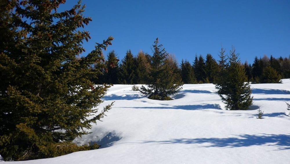
Relaxing day in the middle of a week of skiing.
galéria trás


Mapa trasy a výškový profil
Minimum height 1554 m
Maximum height 1945 m
More about the tour author
|
|
beepee |
komentáre

Park in the little village of Le Col, next to the church.
Follow the GPS track for the walk.
Pack enough food and drinks, there are no places to eat during the walk, no mountain huts at all.
GPS trasy
Trackpoints-
GPX / Garmin Map Source (gpx) download
-
TCX / Garmin Training Center® (tcx) download
-
CRS / Garmin Training Center® (crs) download
-
Google Earth (kml) download
-
G7ToWin (g7t) download
-
TTQV (trk) download
-
Overlay (ovl) download
-
Fugawi (txt) download
-
Kompass (DAV) Track (tk) download
-
list trasy (pdf) download
-
Original file of the author (gpx) download
More about the tour author
|
|
beepee |
Add to my favorites
Remove from my favorites
Edit tags
Open track
My score
Rate