


Start der Tour ist Stutensee/Friedrichstal. Bei mäßigem Gegenwind gings dann Richtung Durlach über Blankenloch und Hagsfeld. Durch Durlach dann nach Ettlingen auf dem Radweg. Ettlingen durchfahren und sich nach Ettlingenweier orientieren. Nun beginnt der Spaß. Eine schöne Auffahrt nach Schluttenbach mit Teilstücken um die 10 %Steigung. Landschaft super, schöne Strassen, die Strecke kann man nur empfehlen. Oben angekommen geht es dann nach Schöllbronn. Hier bieten sich unzählige Varianten der Streckenführung. Unsere, siehe den Track. Nach etwas mehr als drei Stunden waren wir dann wieder zu Hause. Es hat sich gelohnt.
galéria trás

Mapa trasy a výškový profil
Minimum height 110 m
Maximum height 420 m
More about the tour author
|
|
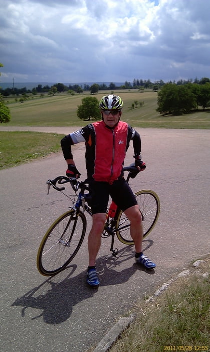
Albert59 |
komentáre

GPS trasy
Trackpoints-
GPX / Garmin Map Source (gpx) download
-
TCX / Garmin Training Center® (tcx) download
-
CRS / Garmin Training Center® (crs) download
-
Google Earth (kml) download
-
G7ToWin (g7t) download
-
TTQV (trk) download
-
Overlay (ovl) download
-
Fugawi (txt) download
-
Kompass (DAV) Track (tk) download
-
list trasy (pdf) download
-
Original file of the author (tcx) download
More about the tour author
|
|
Albert59 |
Add to my favorites
Remove from my favorites
Edit tags
Open track
My score
Rate