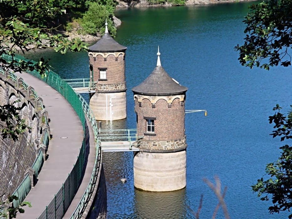
Aus Zeitgründen leider nur eine kurze Beschreibung. Tour geht teilweise an der Wupper lang und man kommt an der Sengbachtalsperre vorbei. Die Tour bietet sehr viel Abwechslung ung und viele anspruchsvolle Abfahrten. Insgesamt super...
Mapa trasy a výškový profil
Minimum height 66 m
Maximum height 283 m
komentáre
Landstraße 55, Haan (dort sind einige Parkplätze in der Straße)
GPS trasy
Trackpoints-
GPX / Garmin Map Source (gpx) download
-
TCX / Garmin Training Center® (tcx) download
-
CRS / Garmin Training Center® (crs) download
-
Google Earth (kml) download
-
G7ToWin (g7t) download
-
TTQV (trk) download
-
Overlay (ovl) download
-
Fugawi (txt) download
-
Kompass (DAV) Track (tk) download
-
list trasy (pdf) download
-
Original file of the author (gpx) download
Add to my favorites
Remove from my favorites
Edit tags
Open track
My score
Rate


Schöne Tour
Durch die Länge kann man natürlich nicht auf eine
Singletrail Tour hoffen,Asphalt hält sich in Grenzen
und ein paar schöne Abfahrten sind auch dabei.
Man ist gut damit beraten in der Woche zu fahren aber
das gilt ja für alle Touren in Naherholungs Gebieten.
Übrigens zeigte mein Tacho nur 1700Hm an.