


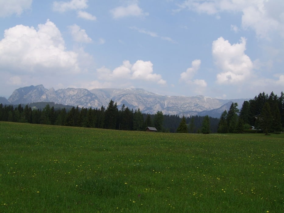
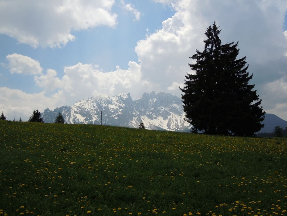
Die Tour startet in Welschnofen und dann gehts auch gleich ein gutes Stück weit Berg hoch - teilweise ziemlich steil, zu Beginn fast nur Asphalt .. später auf Forstwegen. Belohnt wird man dann sobald man auf Höhe der Straße vom Nigerpass zum Karerpass angelangt ist. Traumhafte Aussicht.
Leider war der Karersee bei unserer Tour gesperrt weil dort Umbauarbeiten für die Besucher durchgeführt wurden. Daher auch keine Bilder vom Karersee. Eigentlich sind wir wegen dem See auf der Paßstrasse vom Karerpass Richtung Welschnofen gefahren. Wer das nicht will findet sicher auch einen schönen Weg über die Almen zurück.
galéria trás
Mapa trasy a výškový profil
Minimum height 1080 m
Maximum height 1769 m
More about the tour author
|
|
Herzblut |
komentáre

Start und Ziel in Welschnofen
GPS trasy
Trackpoints-
GPX / Garmin Map Source (gpx) download
-
TCX / Garmin Training Center® (tcx) download
-
CRS / Garmin Training Center® (crs) download
-
Google Earth (kml) download
-
G7ToWin (g7t) download
-
TTQV (trk) download
-
Overlay (ovl) download
-
Fugawi (txt) download
-
Kompass (DAV) Track (tk) download
-
list trasy (pdf) download
-
Original file of the author (gpx) download
More about the tour author
|
|
Herzblut |
Add to my favorites
Remove from my favorites
Edit tags
Open track
My score
Rate