Login

Zabudli ste prihlasovacia meno

Cookies have to be accepted!
Your browser's cookie functionality is disabled. Please enable this functionality.

Not a member yet?

Register now
Login

Available for registred users only

Log in to use this feature.

Zabudli ste prihlasovacia meno

Cookies have to be accepted!
Your browser's cookie functionality is disabled. Please enable this functionality.

Not a member yet?

Register now
Filter
Kategórie
Advanced filters
  • Dĺžka (km)
  • výškomer
Uložiť filter Reset filter

TrackRank

QRCode

Technical data

Dĺžka33,3 km výškomer942 m Way down799 m Doba02:55 h:m dátum05.06.2011
ohodnotenia Author Kraj pôžitok z túry kondícia technika

štatistika

468 náhľady ohodnotenia 17 Stiahnutia priemer
Rate
  • list trasy
  • príjazd
  • Stiahnutia
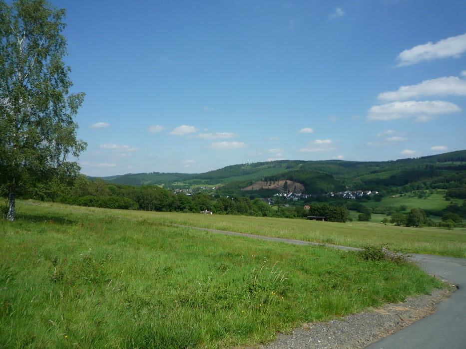
Von Oberroßbach aus geht die Tour durch die Dillberge nach Offdilln und weiter über die Landesgrenze Richtung Irmgarteichen.Nachdem wir die Landstraße überquert haben geht es links ab nach Gernsdorf .Wir fahren nun auf der rechten Talseite weiter bis nach Rudersdorf ,wechseln auf die andere Seite und fahren wieder hoch zur Landesgrenze und weiter nach Dillbrecht.Nun noch mal über den Berg bis ins Roßbachtal.

galéria trás

Mapa trasy a výškový profil

  • Open Street Map
  • Google
Minimum height 190 m Maximum height 578 m Detailný pohľad

More about the tour author

baumgarten
Member since 2010

Send private message

komentáre

GPS trasy

Trackpoints
  • GPX / Garmin Map Source (gpx) download
  • TCX / Garmin Training Center® (tcx) download
  • CRS / Garmin Training Center® (crs) download
  • Google Earth (kml) download
  • G7ToWin (g7t) download
  • TTQV (trk) download
  • Overlay (ovl) download
  • Fugawi (txt) download
  • Kompass (DAV) Track (tk) download
  • list trasy (pdf) download
  • Original file of the author (gpx) download

More about the tour author

baumgarten
Member since 2010

Send private message
Share track
Add to my favorites
Remove from my favorites
Edit tags
My score
Rate
trasa: Roßbachtal - Gernsdorf Rundkurs
Druh: horský bicykel
Dĺžka: 33,3 km
Evaluated on:
Doba:
Day(s)
Hour(s)
Minute(s)
ohodnotenie: Kraj pôžitok z túry kondícia technika