


Auf verlassenen Wegen durchs tertiäre Hügelland nordwestlich von München
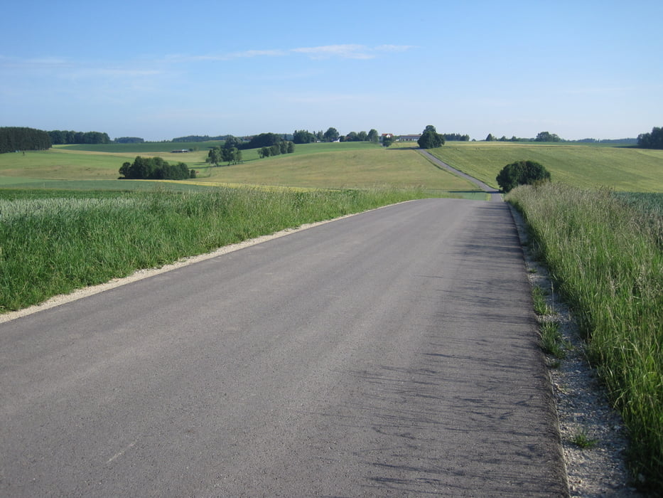
Die Route verläuft fast ausnahmslos über sehr ruhige und verkehrsarme Nebenstraßen. Nur das Teilstück von Günding bis Bergkirchen-Gada, in der Nähe von Dachau, führt durch ein Industriegebiet.
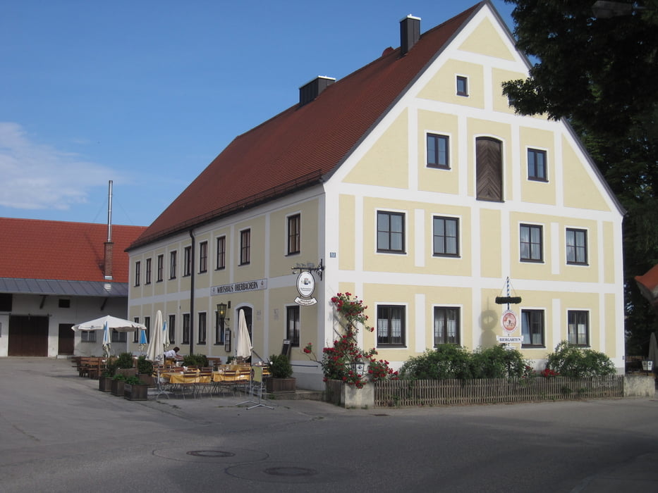
Entgegen den Erwartungen oder Befürchtungen, die durch die Überschrift vielleicht entstehen, stellen sich weniger Erhebungen und Hügel in den Weg als man vermuten könnte. Von Bergkirchen bis Ried fährt man sogar üerwiegend in flacherem Gelände. Doch ab Ried wird's dann teilweise richtig wellig und hügelig aber nie richtig steil. Von Hochprozentigem wird man verschont, zumindest auf der Straße. Wer Letzteres genießen will hat dazu in den schönen Biergärten die man z.B. in Hergertswiesen oder Oberbachern (siehe Fotos) passiert ausreichend Gelegenheit.
galéria trás
Mapa trasy a výškový profil
Minimum height 479 m
Maximum height 536 m
More about the tour author

|
Phlox_1 |
komentáre

Da es sich um eine Rundtour handelt kann man überall in den Track einsteigen. Eine eventuelle Anfahrt ist deshalb je nach gewähltem Anfangspunkt selbst zu wählen.
GPS trasy
Trackpoints-
GPX / Garmin Map Source (gpx) download
-
TCX / Garmin Training Center® (tcx) download
-
CRS / Garmin Training Center® (crs) download
-
Google Earth (kml) download
-
G7ToWin (g7t) download
-
TTQV (trk) download
-
Overlay (ovl) download
-
Fugawi (txt) download
-
Kompass (DAV) Track (tk) download
-
list trasy (pdf) download
-
Original file of the author (gpx) download
More about the tour author
|
|
Phlox_1 |
Add to my favorites
Remove from my favorites
Edit tags
Open track
My score
Rate