Login

Zabudli ste prihlasovacia meno

Cookies have to be accepted!
Your browser's cookie functionality is disabled. Please enable this functionality.

Not a member yet?

Register now
Login

Available for registred users only

Log in to use this feature.

Zabudli ste prihlasovacia meno

Cookies have to be accepted!
Your browser's cookie functionality is disabled. Please enable this functionality.

Not a member yet?

Register now
Filter
Kategórie
Advanced filters
  • Dĺžka (km)
  • výškomer
Uložiť filter Reset filter

TrackRank

QRCode

Technical data

Dĺžka10,9 km výškomer139 m Way down131 m Doba00:27 h:m dátum05.06.2011
ohodnotenia Author Kraj pôžitok z túry kondícia technika

štatistika

446 náhľady 1 ohodnotenie 38 Stiahnutia 4.00 priemer
Rate
  • list trasy
  • príjazd
  • Stiahnutia
Org. Strecke vom Münchner 24H Rennen  04-05 Juni. 2011

Mapa trasy a výškový profil

  • Open Street Map
  • Google
Minimum height 500 m Maximum height 539 m Detailný pohľad

More about the tour author

makemile
Member since 2008

Send private message

komentáre

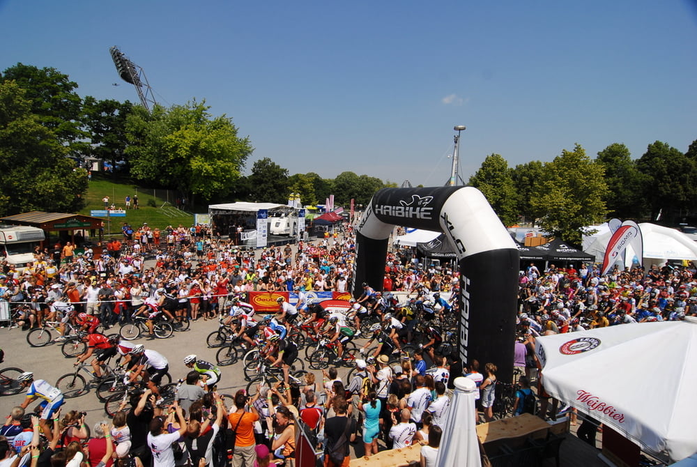
Parken München im Oly Park

GPS trasy

Trackpoints
  • GPX / Garmin Map Source (gpx) download
  • TCX / Garmin Training Center® (tcx) download
  • CRS / Garmin Training Center® (crs) download
  • Google Earth (kml) download
  • G7ToWin (g7t) download
  • TTQV (trk) download
  • Overlay (ovl) download
  • Fugawi (txt) download
  • Kompass (DAV) Track (tk) download
  • list trasy (pdf) download
  • Original file of the author (tcx) download

More about the tour author

makemile
Member since 2008

Send private message
Share track
Add to my favorites
Remove from my favorites
Edit tags
My score
Rate
trasa: 24H Rennen München 2011
Druh: horský bicykel
Dĺžka: 10,9 km
Evaluated on:
Doba:
Day(s)
Hour(s)
Minute(s)
ohodnotenie: Kraj pôžitok z túry kondícia technika