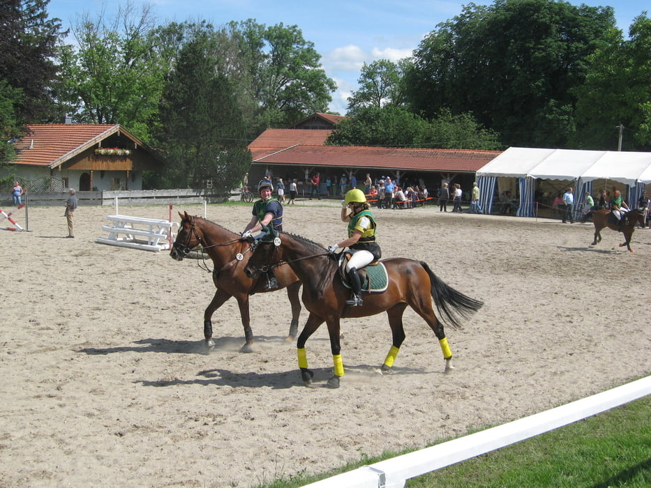
Eine schöne Tour mit viel Abwechselung. Anfang/Ende der Strecke ist bei der S-Bahn Station Höhenkirchen. Von hier geht es los durch das Waldstück in die Richtung Steinsee. Bei heißem Wetter könnte man hier schon eigentlich aufhören. Am Reithof vorbei in die Richtung Glonn. Am Kupferbach gib es noch ein Wasserrad zu sehen. Über Haslach, Piusheim, Krügling nach Süden bis Eutenhausen. Hier kann man eine kleine Abfahrt absolvieren. Weiter über Percha nach Feldkirchen und weiter bis Naring. Hier gibt es alles für eine gute Erholung. Weiter über einsame Straßen in die Richtung Sonderdilching, Kleinhöhenkirchen bis Grubmühle, wo sich der Mangfall in all seiner Schönheit präsentiert.
Weiter geht es über Großhelfendorf, Heimatshofen, Kaltenbrunn nach Aying. Hier Energie voll aufladen. Und zum Schluss ein schöner Waldabschnitt bis zu Münchener Straße, die uns weiter zum Ziel führt. Geschafft!!!
galéria trás
Mapa trasy a výškový profil
Minimum height 531 m
Maximum height 678 m
komentáre

GPS trasy
Trackpoints-
GPX / Garmin Map Source (gpx) download
-
TCX / Garmin Training Center® (tcx) download
-
CRS / Garmin Training Center® (crs) download
-
Google Earth (kml) download
-
G7ToWin (g7t) download
-
TTQV (trk) download
-
Overlay (ovl) download
-
Fugawi (txt) download
-
Kompass (DAV) Track (tk) download
-
list trasy (pdf) download
-
Original file of the author (gpx) download
Add to my favorites
Remove from my favorites
Edit tags
Open track
My score
Rate


