


Antrengende Tagestour abseits vom üblichen Trubel
mit Traumapanorama.
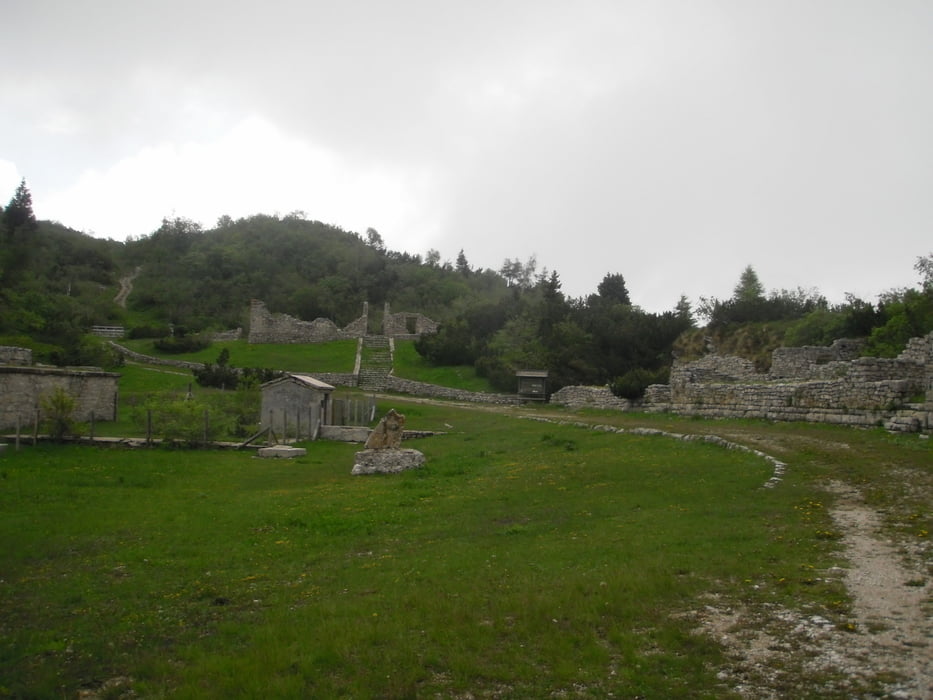
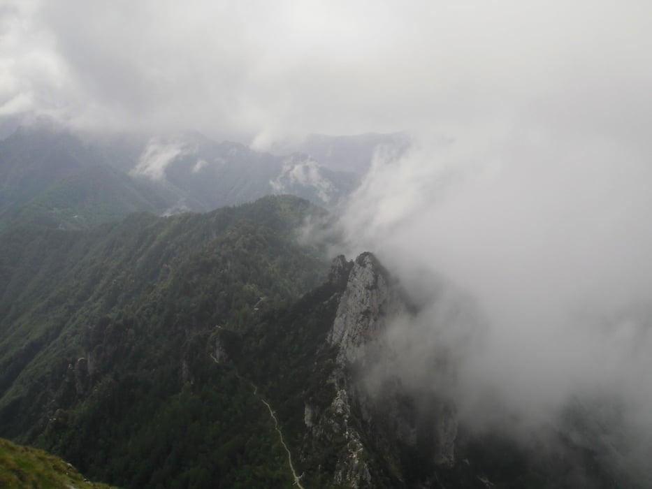
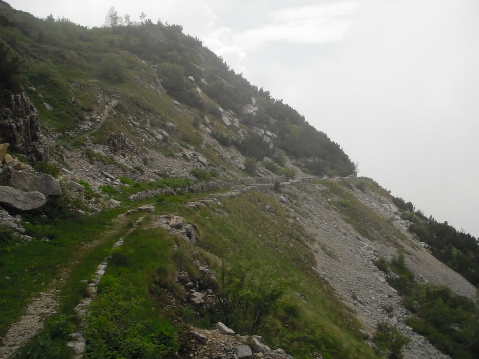
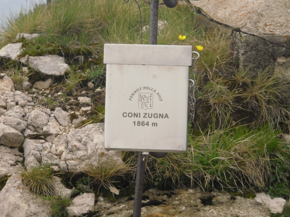
Start bei Meckis,alte Straße nach Nago über den Fahradweg noch Mori.Von hier über Radwege bis in die Altstadt Rovereto.Ab da auf verkehrsarmer Asphaltstraße nach Albaredo.Es folgt eine Traumpasstraße auf die andere Seite des Bergrücken(Blick runter auf Roverto und dem Etschtal)11km und 900hmt bis zur Malga Zugna(bewirtschaftet).Es folgt ein Naturweg ca 150hmt zum Parco della Pace.die letzten 100hmt zum Monte Zugna(Echter Gipfel 1864hmt) sind steil und schwierig,aber die Aussicht ist fantastisch.zurück zum Parco della Pace geht es links auf einen Höhentrail der nur kurz eine schwierige Passage beinhaltet.Beim Passo Buole kurz auf Naturstraße abwärts geht es bald in den Sentiero 116.Dieser Trail ist komplett fahrbar(S1-S2) und macht echt Spaß.Beim kloster San Valentino nicht weiter nach unten fahren(mein Track führt runter und wieder nach oben) sondern links in den Weg Richtung San Margeritha.Es geht weiter auf dem Radweg Richtung Mori und auf bekannten weg zurück nach Nago.Hier nicht auf Anfahrtsweg zurück sondern dem Track folgen(Singetrail) bis zum Ausgangspunkt nach Torbole.
galéria trás
Mapa trasy a výškový profil
Minimum height 71 m
Maximum height 1859 m
More about the tour author
|
|
josef_zinganel |
komentáre

GPS trasy
Trackpoints-
GPX / Garmin Map Source (gpx) download
-
TCX / Garmin Training Center® (tcx) download
-
CRS / Garmin Training Center® (crs) download
-
Google Earth (kml) download
-
G7ToWin (g7t) download
-
TTQV (trk) download
-
Overlay (ovl) download
-
Fugawi (txt) download
-
Kompass (DAV) Track (tk) download
-
list trasy (pdf) download
-
Original file of the author (gpx) download
More about the tour author
|
|
josef_zinganel |
Add to my favorites
Remove from my favorites
Edit tags
Open track
My score
Rate