


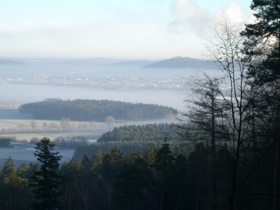
Best of Buchberg einer der besten Flowtrails rund um Neumarkt.
Los gehts von NM Richtung Buchberg die Teerstr.hoch am Parkplatz vorbei bis links ein kleiner Waldpfad mit der Beschilderung Fuchsweg(Gelbes Schild roter Fuchs)beginnt.Den mit viel Schwung einmal rum bis uns dieser an der Selbenstelle wieder ausspuckt (im Uhrzeigersinn gehts am besten)dann hoch die Teerstr. bis Schotter den zweite Schotterweg rechts ganz hoch über die Wiese auf den Trail nunder bis Schotter,dann rechts auf Schotter bis links eine Parkbank kommt,nach der scharf links in denn Zike zake Hühnerkacke Trail (ohne absteigen) runter immer gerade aus bis zu den Häusern dann links auf den Trail bleiben in richtung Stauf.
Ride on und bitte auf die Wanderer aufpassen!!!!
Gruß I
Further information at
http://de.wikipedia.org/wiki/Buchberg_(Oberpfalz)galéria trás

Mapa trasy a výškový profil
Minimum height 416 m
Maximum height 581 m
More about the tour author
|
|
Joker78 |
komentáre

GPS trasy
Trackpoints-
GPX / Garmin Map Source (gpx) download
-
TCX / Garmin Training Center® (tcx) download
-
CRS / Garmin Training Center® (crs) download
-
Google Earth (kml) download
-
G7ToWin (g7t) download
-
TTQV (trk) download
-
Overlay (ovl) download
-
Fugawi (txt) download
-
Kompass (DAV) Track (tk) download
-
list trasy (pdf) download
-
Original file of the author (gpx) download
More about the tour author
|
|
Joker78 |
Add to my favorites
Remove from my favorites
Edit tags
Open track
My score
Rate