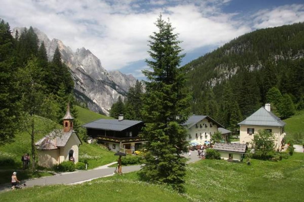
Start ist Unterjettenberg Richtung Bundeswehr Stützpunkt
Runde geht am besten entgegen dem Uhrzeigersinn
Einkehr am Hirschbichl oder Litzlalm oder aber auch am Hintersee
galéria trás
Mapa trasy a výškový profil
Minimum height 580 m
Maximum height 1313 m
komentáre
Unterjettenberg zwischen Schneitzlreit und Bad Reichenhall
GPS trasy
Trackpoints-
GPX / Garmin Map Source (gpx) download
-
TCX / Garmin Training Center® (tcx) download
-
CRS / Garmin Training Center® (crs) download
-
Google Earth (kml) download
-
G7ToWin (g7t) download
-
TTQV (trk) download
-
Overlay (ovl) download
-
Fugawi (txt) download
-
Kompass (DAV) Track (tk) download
-
list trasy (pdf) download
-
Original file of the author (gpx) download
Add to my favorites
Remove from my favorites
Edit tags
Open track
My score
Rate


Tour im April 2012
Tour gefahren