


Die Tour wurde 2005 aus verschiedenen Albrecht Überquerungen zusammengestellt und gefahren
GPS kannte ich zu der Zeit noch nicht, deshalb wurde die Tour anhand von GPS Daten aus verschiedenen einzelnen tracks zusammengestellt. Einige tracks wurden auf der Karte zusammengestellt und haben keine geographischen Punkte. Vorsicht also bei der Übernahme, diese dürfen nicht miteinander auf das Gerät überspielt werden, das funzt nicht, zumindest bei mir.
1. Tag 89 km 1192 hm
Garmisch-Partenkirchen - Fern-Pass - Schloß Fernstein -Strad - Imst - Landeck
2.Tag 42 km 1376 hm
Landeck - Tobadill - See - Ischgl - Fimber-Tal - Bodenalpe
3. Tag 69k m 1961 hm
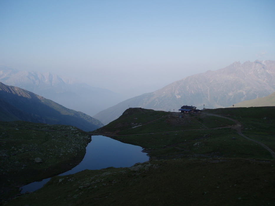
Bodenalpe - Fimber-Pass - Ramosch - Scoul - S-charl - Pass da Costainas - Lü - St. Maria im Münstertal
4. Tag 78 km 2106 hm
St. Maria im Münstertal - Val Mora - Lago Cancano - Bormio - Val di Rezzalo - Rif.La Baita
5.Tag 37km 1789 hm
Rif La Baita - Passo dell' Alpe - Gavia-Pass - Rif. Bozzi
6. Tag 51km 2000 hm
Rif. Bozzi - Passo Tonale - Fucine - Dimaro - Madonna di Campiglio
7. Tag 56km 1160 hm
Madonna di Campiglio - Val d'Agola - Passo Bregn de l'Ors - Rif. Ghedina (Val d'Algone) - Stenico - Lago di Molveno
8. Tag Badepause
9. Tag 59km 327 km
Lago di Molveno -Ranzo -Lago di Toblino -Sarche -Arco
galéria trás


Mapa trasy a výškový profil
Minimum height 74 m
Maximum height 2630 m
More about the tour author

|
tigris955 |
komentáre

GPS trasy
Trackpoints-
GPX / Garmin Map Source (gpx) download
-
TCX / Garmin Training Center® (tcx) download
-
CRS / Garmin Training Center® (crs) download
-
Google Earth (kml) download
-
G7ToWin (g7t) download
-
TTQV (trk) download
-
Overlay (ovl) download
-
Fugawi (txt) download
-
Kompass (DAV) Track (tk) download
-
list trasy (pdf) download
-
Original file of the author (gpx) download
More about the tour author
|
|
tigris955 |
Add to my favorites
Remove from my favorites
Edit tags
Open track
My score
Rate