Login

Zabudli ste prihlasovacia meno

Cookies have to be accepted!
Your browser's cookie functionality is disabled. Please enable this functionality.

Not a member yet?

Register now
Login

Available for registred users only

Log in to use this feature.

Zabudli ste prihlasovacia meno

Cookies have to be accepted!
Your browser's cookie functionality is disabled. Please enable this functionality.

Not a member yet?

Register now
Filter
Kategórie
Advanced filters
  • Dĺžka (km)
  • výškomer
Uložiť filter Reset filter

TrackRank

QRCode

Technical data

Dĺžka64,9 km výškomer1181 m Way down1552 m Doba05:30 h:m dátum20.06.2011
ohodnotenia Author Kraj pôžitok z túry kondícia technika

štatistika

454 náhľady ohodnotenia 39 Stiahnutia priemer
Rate
  • list trasy
  • príjazd
  • Stiahnutia

Start in Oberschwarzenberg weiter nach Deutschland Frauenberg - Haidmühle - dann Tschechien

Schwemmkanal - Wanderweg 110 Grenzübergang - Hochficht Überlebenhhütte - Schöneben -

Hintenberg - Ulrichsberg - Ödenkirchen - Kirchbach - Peilstein Gasthaus Huberttushof,
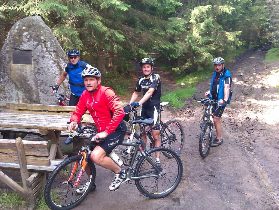
 

galéria trás

Mapa trasy a výškový profil

  • Open Street Map
  • Google
Minimum height 561 m Maximum height 1130 m Detailný pohľad

More about the tour author

erlich0
Member since 2010

Send private message

komentáre

GPS trasy

Trackpoints
  • GPX / Garmin Map Source (gpx) download
  • TCX / Garmin Training Center® (tcx) download
  • CRS / Garmin Training Center® (crs) download
  • Google Earth (kml) download
  • G7ToWin (g7t) download
  • TTQV (trk) download
  • Overlay (ovl) download
  • Fugawi (txt) download
  • Kompass (DAV) Track (tk) download
  • list trasy (pdf) download
  • Original file of the author (gpx) download

More about the tour author

erlich0
Member since 2010

Send private message
Share track
Add to my favorites
Remove from my favorites
Edit tags
My score
Rate
trasa: Schwarzenberg nach Peilstein 3 Ländertour
Druh: horský bicykel
Dĺžka: 64,9 km
Evaluated on:
Doba:
Day(s)
Hour(s)
Minute(s)
ohodnotenie: Kraj pôžitok z túry kondícia technika