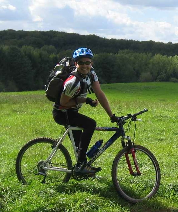
Einfach nur Strecke machen.
Mapa trasy a výškový profil
Minimum height -69 m
Maximum height 183 m
komentáre
Grafenberger Wald - Düsseldorf
GPS trasy
Trackpoints-
GPX / Garmin Map Source (gpx) download
-
TCX / Garmin Training Center® (tcx) download
-
CRS / Garmin Training Center® (crs) download
-
Google Earth (kml) download
-
G7ToWin (g7t) download
-
TTQV (trk) download
-
Overlay (ovl) download
-
Fugawi (txt) download
-
Kompass (DAV) Track (tk) download
-
list trasy (pdf) download
-
Original file of the author (g7t) download
Add to my favorites
Remove from my favorites
Edit tags
Open track
My score
Rate


Schöne Tour, schöne Landschaft
die Tour hat mir sehr gefallen, sie führt durch sehr abwechslungsreiches Gelände und hat einige schwierige Downhills. Ich habe diese Tour mit mit der Tour Nr. 9086 kombiniert, mit eigenen Passagen versehen und mit der Nummer 13665 als nachbearbeitete Tour (T-QV4) im WWW veröffentlicht.