Login

Zabudli ste prihlasovacia meno

Cookies have to be accepted!
Your browser's cookie functionality is disabled. Please enable this functionality.

Not a member yet?

Register now
Login

Available for registred users only

Log in to use this feature.

Zabudli ste prihlasovacia meno

Cookies have to be accepted!
Your browser's cookie functionality is disabled. Please enable this functionality.

Not a member yet?

Register now
Filter
Kategórie
Advanced filters
  • Dĺžka (km)
  • výškomer
Uložiť filter Reset filter

TrackRank

QRCode

Technical data

Dĺžka98,7 km výškomer324 m Way down322 m Doba00:00 h:m dátum22.06.2011
ohodnotenia Author Kraj pôžitok z túry kondícia technika

štatistika

388 náhľady ohodnotenia 21 Stiahnutia priemer
Rate
  • list trasy
  • príjazd
  • Stiahnutia

Eine schöne Tour direkt hinter der Grenze. Die Wege sind alle hervorragend befahrbar und man orientiert sich außerhalb der Stadtgrenzen Mönchengladbachs vollkommen an den Knotenpunktsystemen des Kreises Heinsberg und Hollands bzw. des Maas-Radweges. Eine schöne genüßliche Tour, die durch Wälder und Naturschutzgebiete sowie am Wasser entlangführt.


Further information at

http://www.maas-rhein-lippe.de/streckenplan.html

galéria trás

Mapa trasy a výškový profil

  • Open Street Map
  • Google
Minimum height -3 m Maximum height 81 m Detailný pohľad

More about the tour author

Schiller1963
Member since 2008

Send private message

komentáre

Yogi23 on 23.08.2017

Kommentar

Habe die Tour un verkürzter Version (ab Wegberg) gemacht, da ich erst mit der Bahn anreisen muß. Hat mir SEHR GUT gefallen. Lediglich das kurze Stück Industriegebiet war nich so schön.
Danke!
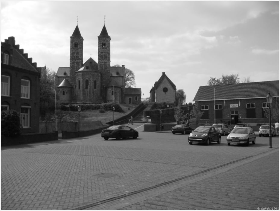
  • Start Gaststätte Langer in Mönchengladbach Bonnenbroich oder Schloß Rheydt
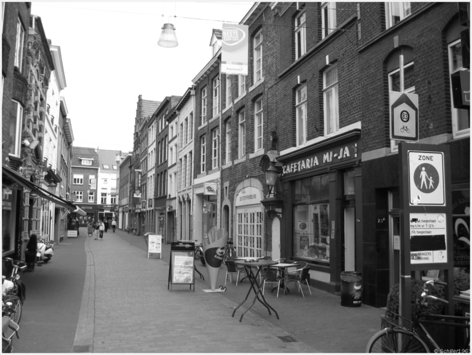
  • Einkaufsmöglichkeit in Rothenbach am alten Grenzübergang
  • Gute ausgebaute Wege oder kleine Straßen von dort bis Roermond
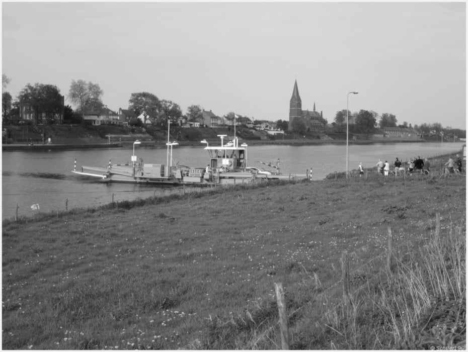
  • Bis Venlo diverse Fähren zum Seitenwechsel der Maas
  •  ab Kaldenkirchen: Rückfahrt mit der Eurobahn

GPS trasy

Trackpoints
  • GPX / Garmin Map Source (gpx) download
  • TCX / Garmin Training Center® (tcx) download
  • CRS / Garmin Training Center® (crs) download
  • Google Earth (kml) download
  • G7ToWin (g7t) download
  • TTQV (trk) download
  • Overlay (ovl) download
  • Fugawi (txt) download
  • Kompass (DAV) Track (tk) download
  • list trasy (pdf) download
  • Original file of the author (gpx) download

More about the tour author

Schiller1963
Member since 2008

Send private message
Share track
Add to my favorites
Remove from my favorites
Edit tags
My score
Rate
trasa: Gladbacher Touren: Schwalm und Maas - Mönchengladbach - Wegberg - Vlodrop - Roermond - Venlo - Kaldenkirchen
Druh: trekingové bicykle
Dĺžka: 98,7 km
Evaluated on:
Doba:
Day(s)
Hour(s)
Minute(s)
ohodnotenie: Kraj pôžitok z túry kondícia technika