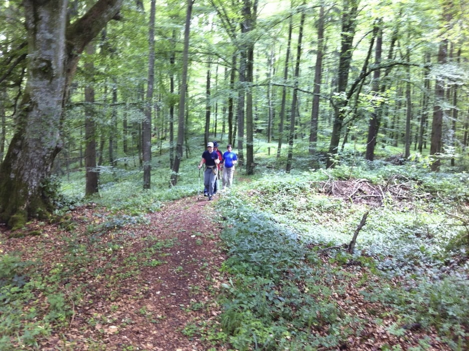
Nette 10 km Runde von Münsingen auf die Apfelstetter Höhe, von wo aus man bei gutem Wetter herrliche Fernsicht in die Alpen hat. Danach geht es über das Heutal wieder zurück nach Münsingen. Endpunkt ist die Eisdiele.... :-)
Further information at
http://www.muensingen.deMapa trasy a výškový profil
Minimum height 712 m
Maximum height 821 m
komentáre

Mit ÖPNV oder Auto nach Münsingen.
Parkmöglichkeiten gibt es genügend am Bahnhof auf beiden Seiten der Gleise.
GPS trasy
Trackpoints-
GPX / Garmin Map Source (gpx) download
-
TCX / Garmin Training Center® (tcx) download
-
CRS / Garmin Training Center® (crs) download
-
Google Earth (kml) download
-
G7ToWin (g7t) download
-
TTQV (trk) download
-
Overlay (ovl) download
-
Fugawi (txt) download
-
Kompass (DAV) Track (tk) download
-
list trasy (pdf) download
-
Original file of the author (gpx) download
Add to my favorites
Remove from my favorites
Edit tags
Open track
My score
Rate

