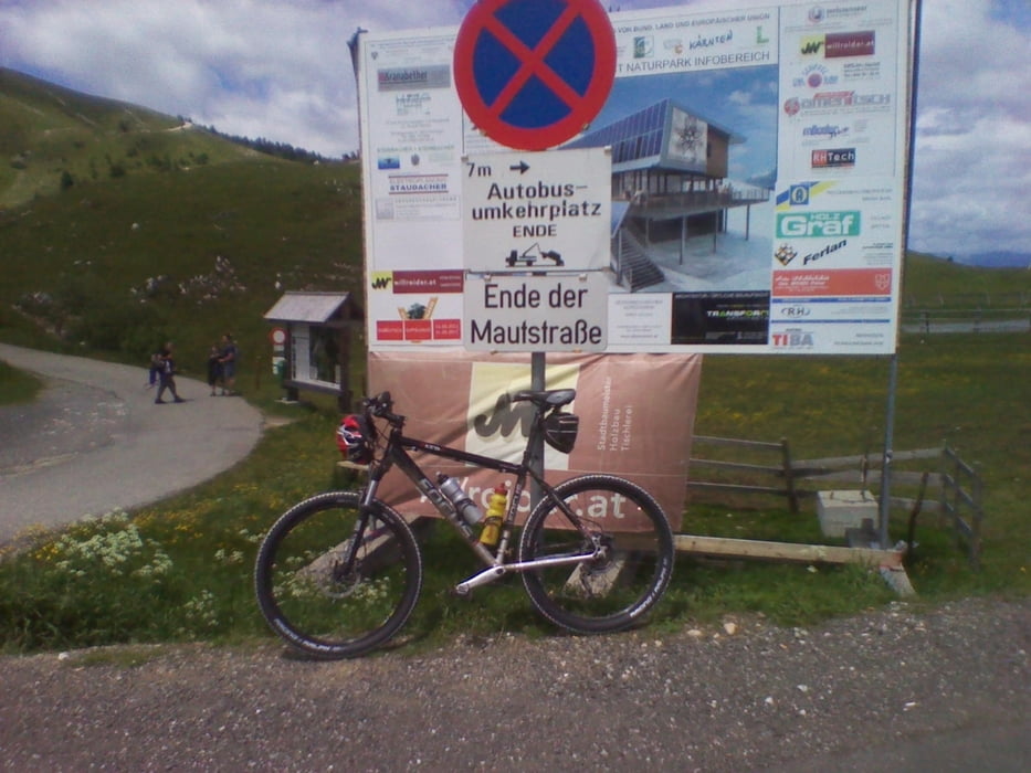
Von Villach über Weissenbach nach Mittewald weiter nach Heilligengeist kurz vorm Hundsmarhof abiegen in Richtung Kasnerin stösst mann auf die Villacher Alpenstrasse bis zum letzten Parkplatz und eine rasante Abfahrt wieder nachhause.
Mapa trasy a výškový profil
Minimum height 531 m
Maximum height 1786 m
komentáre

GPS trasy
Trackpoints-
GPX / Garmin Map Source (gpx) download
-
TCX / Garmin Training Center® (tcx) download
-
CRS / Garmin Training Center® (crs) download
-
Google Earth (kml) download
-
G7ToWin (g7t) download
-
TTQV (trk) download
-
Overlay (ovl) download
-
Fugawi (txt) download
-
Kompass (DAV) Track (tk) download
-
list trasy (pdf) download
-
Original file of the author (gpx) download
Add to my favorites
Remove from my favorites
Edit tags
Open track
My score
Rate

