


Streckencharakteristik:
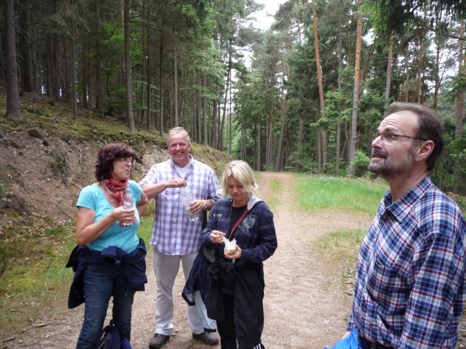
Schöne Wanderung ohne große Höhenmeterüberwindung. Sie verläuft meist über gute Waldpfade, Schotterwege zum Schluss durch Weinberge mit schönem Ausblick aufs Rheintal bei Oestrich-Winkel und gegenüberliegend bei Ingelheim
Tourverlauf:
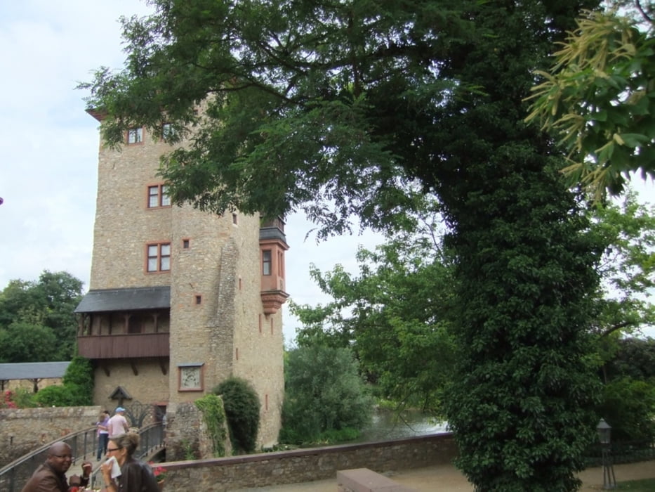
Kloster Marienthal dem Rheinsteig folgend bis Schloss Vollrads. Ab hier Rheinsteigverbindungsweg bis nach Winkel.
Einkehrmöglichkeiten
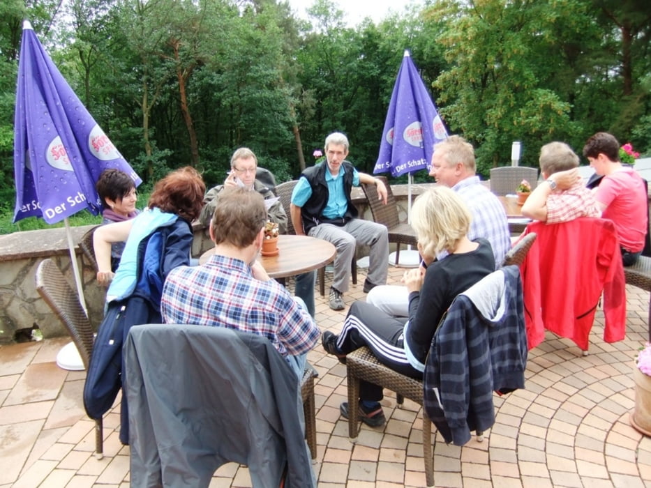
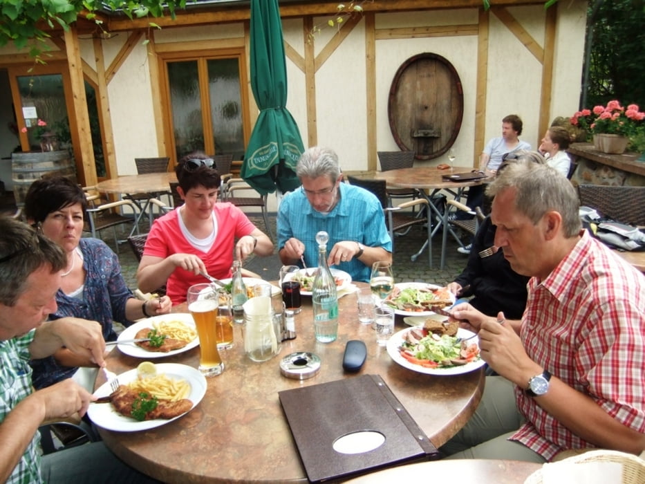
Nach km 5,4 Hotel Restaurant Neugebauer; bei km 9,6 Schloss Vollrads. Abschluss im „Wingertsknorze“ in Winkel.
galéria trás

Mapa trasy a výškový profil
Minimum height 94 m
Maximum height 326 m
More about the tour author
|
|
Genusswanderer |
komentáre

Von Koblenz oder aus Richtung Wiesbaden die B 42 von Norden oder Süden am Rhein entlang bis Geisenheim. Von hier in den Ortsteil Marienthal bis zum gleichnamigen Kloster (Parkplatz ca. 300 m unterhalb vom Kloster)
GPS trasy
Trackpoints-
GPX / Garmin Map Source (gpx) download
-
TCX / Garmin Training Center® (tcx) download
-
CRS / Garmin Training Center® (crs) download
-
Google Earth (kml) download
-
G7ToWin (g7t) download
-
TTQV (trk) download
-
Overlay (ovl) download
-
Fugawi (txt) download
-
Kompass (DAV) Track (tk) download
-
list trasy (pdf) download
-
Original file of the author (gpx) download
More about the tour author
|
|
Genusswanderer |
Add to my favorites
Remove from my favorites
Edit tags
Open track
My score
Rate