
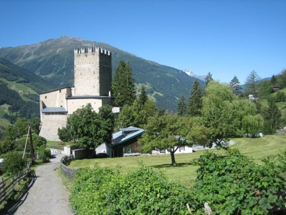

Stationen:
Fliess - Schloß Biedeneck (Privat) - Gogleswald auf altem Schotterpfad - Pillerhöhe (1600m) - Gachenblick - Pillerhöhe - Pillerwald - links Richtung Hochmoor - Gogleswald - Abfahrt auf Straße L17 - Fliess
Briefing:
Eine knackige Tour mit relativ vielen Höhenmetern auf kurzer Strecke von schönem Panorama. Keine technischen Herausforderungen. Pfad durchs Moor bitte Schieben und auf Fußgänger Rücksicht nehmen - lohnt sich landschaftlich dennoch. Wer diesen Teil vermeiden will, fährt direkt ab Pillerhöhe wieder auf der L17 in Richtung Fließ. An Sonn- und Feiertagen hat's recht viele Motorradfahrer im Bereich Pillerhöhe/Gachenblick.
galéria trás


Mapa trasy a výškový profil
Minimum height 1064 m
Maximum height 1575 m
More about the tour author
|
|
Joe911 |
komentáre

GPS trasy
Trackpoints-
GPX / Garmin Map Source (gpx) download
-
TCX / Garmin Training Center® (tcx) download
-
CRS / Garmin Training Center® (crs) download
-
Google Earth (kml) download
-
G7ToWin (g7t) download
-
TTQV (trk) download
-
Overlay (ovl) download
-
Fugawi (txt) download
-
Kompass (DAV) Track (tk) download
-
list trasy (pdf) download
-
Original file of the author (gpx) download
More about the tour author
|
|
Joe911 |
Add to my favorites
Remove from my favorites
Edit tags
Open track
My score
Rate