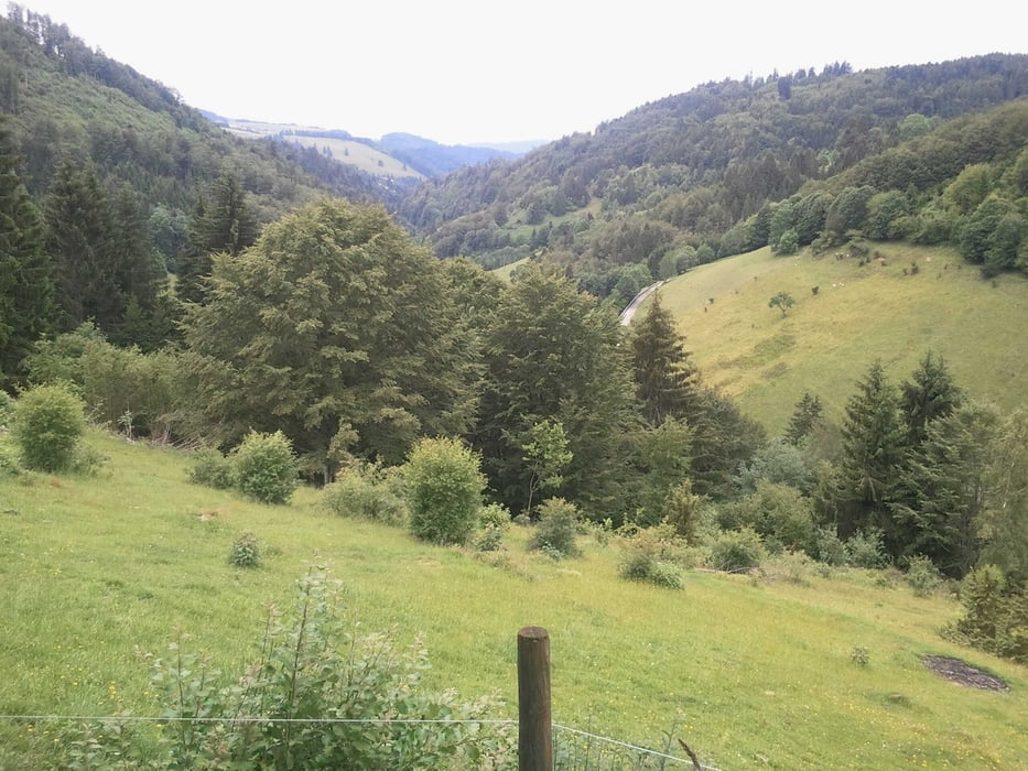
Eine ansprochvolle Tour mit drei schönen Anstiegen. Auf den ersten 95km fährt man 2500hm und gesamt sind es fast 3000hm. Beginnen und beenden kann man die Tour auch in Freiburg, da musste ich zwangsläufig durch, was aber nicht sehr schön zu fahren ist. Ich bin am Anfang das Glottertal hoch, runter nach Kirchzarten und dann in den Anstieg zum Notschrei diesmal vom Dreisamtal aus. Weiter und wieder runter gings nach Todtnau, kurz Wasser holen, und Präg wo der zweite Anstieg nach Todtmoss wartete. Sehr schön zu fahrende Strecke an Todtmoos vorbei auf einsamen kleinen Sträßchen wieder runter ins Wiesental. Leicht ansteigend fährt man nach Schönau und gleich am Ortseingang links Richtung Neuenweg. Der 3. Anstieg bis hoch zum Kreuzweg ist nix für mich immer rein, raus bzw steil, flach das mag ich nicht. Endlich oben angekommen ist die Abfahrt zur Sirnitz und Badenweiler, durch schlechten Straßenbelag, auch nicht so toll. Also schön aufpassen !!! Danach gings noch schön Auf und Ab durch Markgräflerland Richtung und durch Freiburg wieder nach Heuweiler.
Mapa trasy a výškový profil
Minimum height 233 m
Maximum height 1116 m
komentáre

GPS trasy
Trackpoints-
GPX / Garmin Map Source (gpx) download
-
TCX / Garmin Training Center® (tcx) download
-
CRS / Garmin Training Center® (crs) download
-
Google Earth (kml) download
-
G7ToWin (g7t) download
-
TTQV (trk) download
-
Overlay (ovl) download
-
Fugawi (txt) download
-
Kompass (DAV) Track (tk) download
-
list trasy (pdf) download
-
Original file of the author (gpx) download
Add to my favorites
Remove from my favorites
Edit tags
Open track
My score
Rate

