Login

Zabudli ste prihlasovacia meno

Cookies have to be accepted!
Your browser's cookie functionality is disabled. Please enable this functionality.

Not a member yet?

Register now
Login

Available for registred users only

Log in to use this feature.

Zabudli ste prihlasovacia meno

Cookies have to be accepted!
Your browser's cookie functionality is disabled. Please enable this functionality.

Not a member yet?

Register now
Filter
Kategórie
Advanced filters
  • Dĺžka (km)
  • výškomer
Uložiť filter Reset filter

TrackRank

QRCode

Technical data

Dĺžka40,5 km výškomer745 m Way down746 m Doba05:00 h:m dátum03.07.2011
ohodnotenia Author User Kraj pôžitok z túry kondícia technika

štatistika

677 náhľady 1 ohodnotenie 119 Stiahnutia 4.00 priemer
Rate
  • list trasy
  • príjazd
  • Stiahnutia

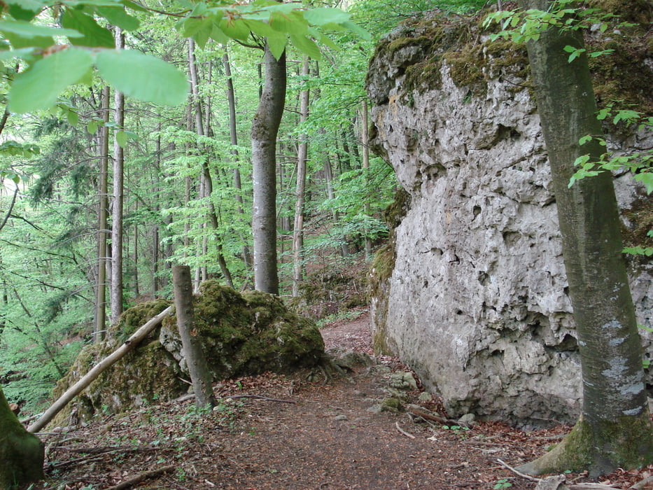
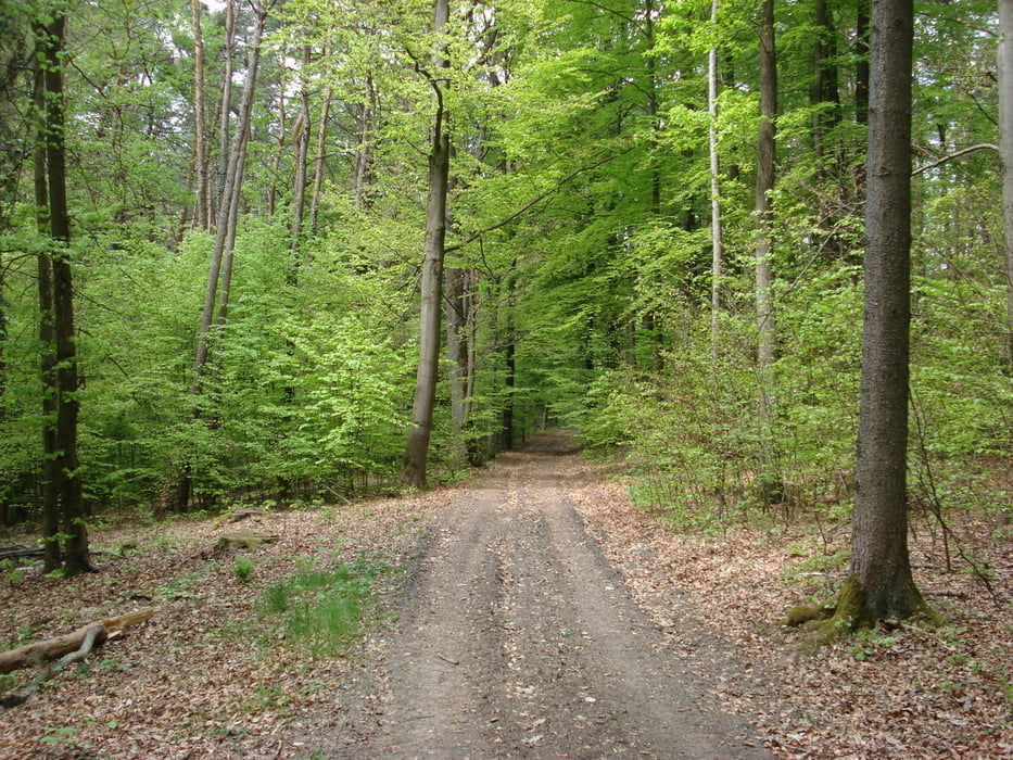
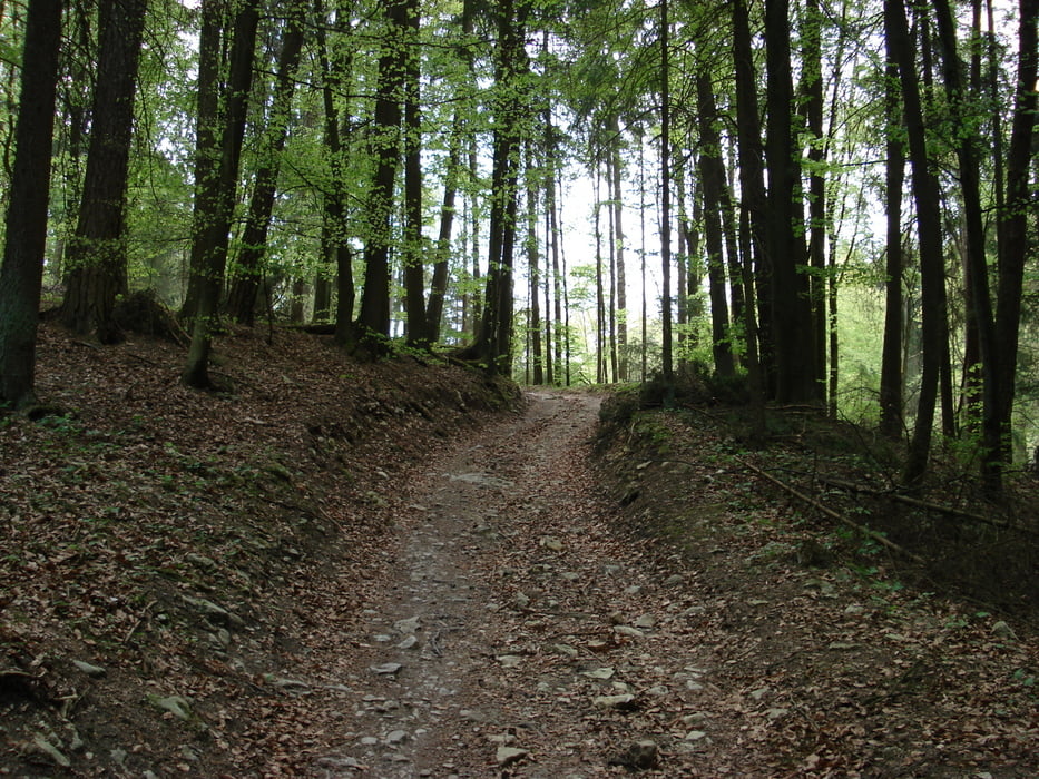
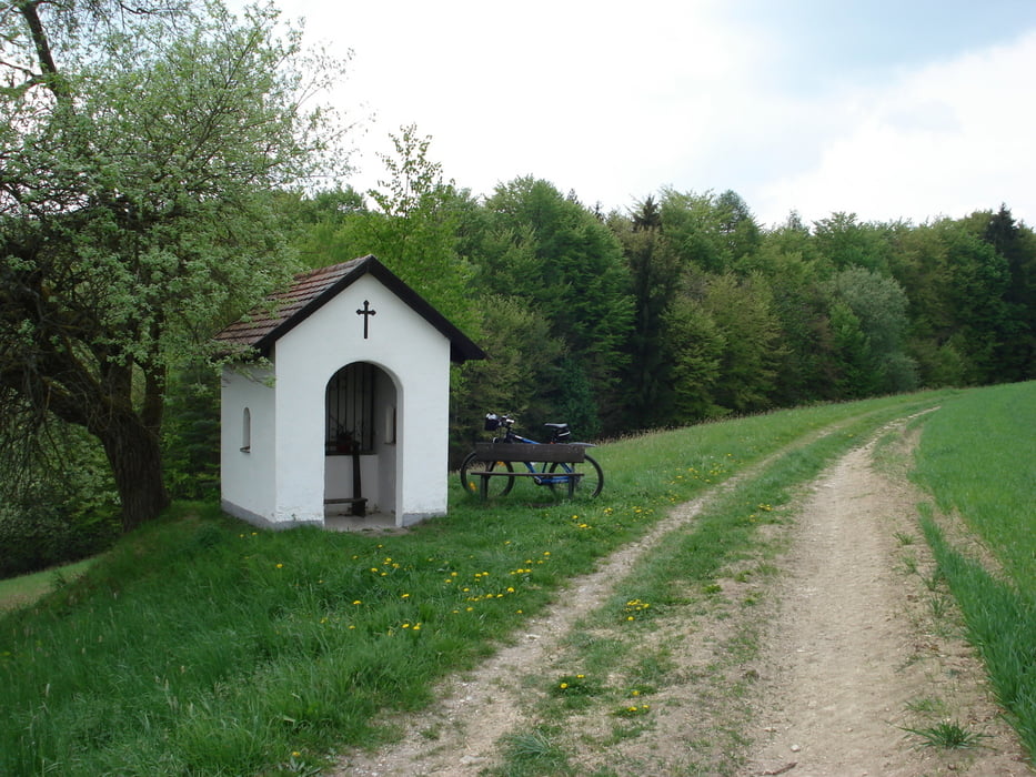
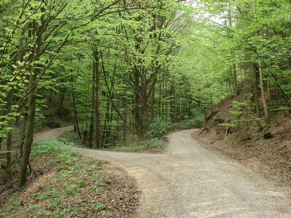
A nice track for a sunny day on the hights around the Naab valley, from Regensburg to Duggendorf. The view is super and the track throught the forest is just greate.

It could have been even more beatifull if I wouldn't have falled. Happily, I had only minor injuries but still I had to come back home after the accident. Too bad, I had planned to come back on the opposite schore of the Naab.

galéria trás

Mapa trasy a výškový profil

  • Open Street Map
  • Google
Minimum height 332 m Maximum height 480 m Detailný pohľad

More about the tour author

ungureanub
Member since 2008

Send private message

komentáre

GPS trasy

Trackpoints
  • GPX / Garmin Map Source (gpx) download
  • TCX / Garmin Training Center® (tcx) download
  • CRS / Garmin Training Center® (crs) download
  • Google Earth (kml) download
  • G7ToWin (g7t) download
  • TTQV (trk) download
  • Overlay (ovl) download
  • Fugawi (txt) download
  • Kompass (DAV) Track (tk) download
  • list trasy (pdf) download
  • Original file of the author (gpx) download

More about the tour author

ungureanub
Member since 2008

Send private message
Share track
Add to my favorites
Remove from my favorites
Edit tags
My score
Rate
trasa: On the hights between Regensburg and Duggendorf
Druh: horský bicykel
Dĺžka: 40,5 km
Evaluated on:
Doba:
Day(s)
Hour(s)
Minute(s)
ohodnotenie: Kraj pôžitok z túry kondícia technika