


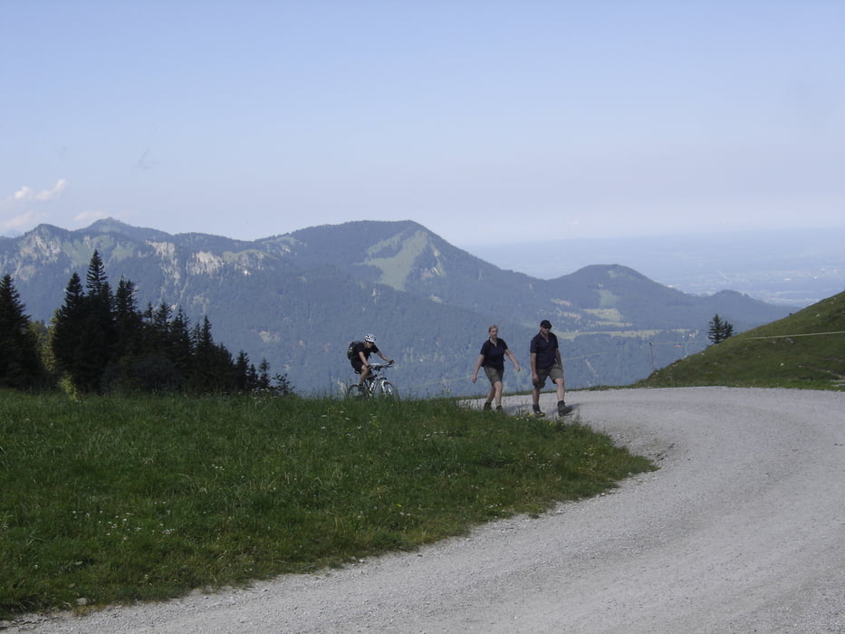
Einfache, kurze, aber sehr knackige Tour! Immer wieder sehr steil fährt man entweder auf Asphalt oder auf einem Forstweg hoch. Technisch nicht schwierig. Runter sind wir dieselbe Strecke gefahren. Auch hier wieder sehr steil, aber oft nicht sehr schnell, da enge Kurven und/oder Wanderer oder andere Biker auf der Strasse. Gute Bremsen braucht man hier schon.
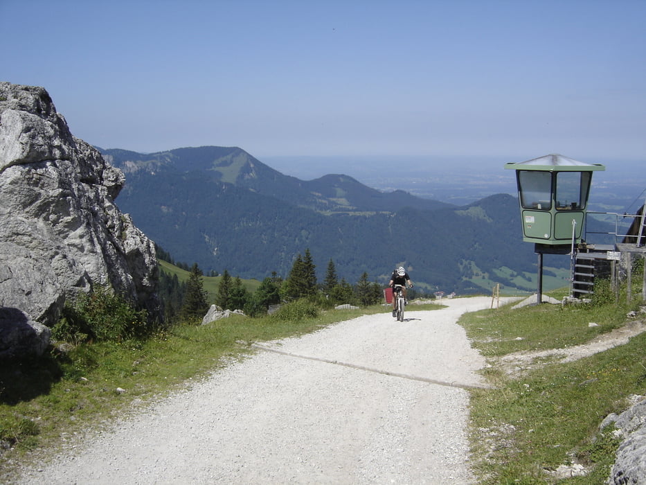
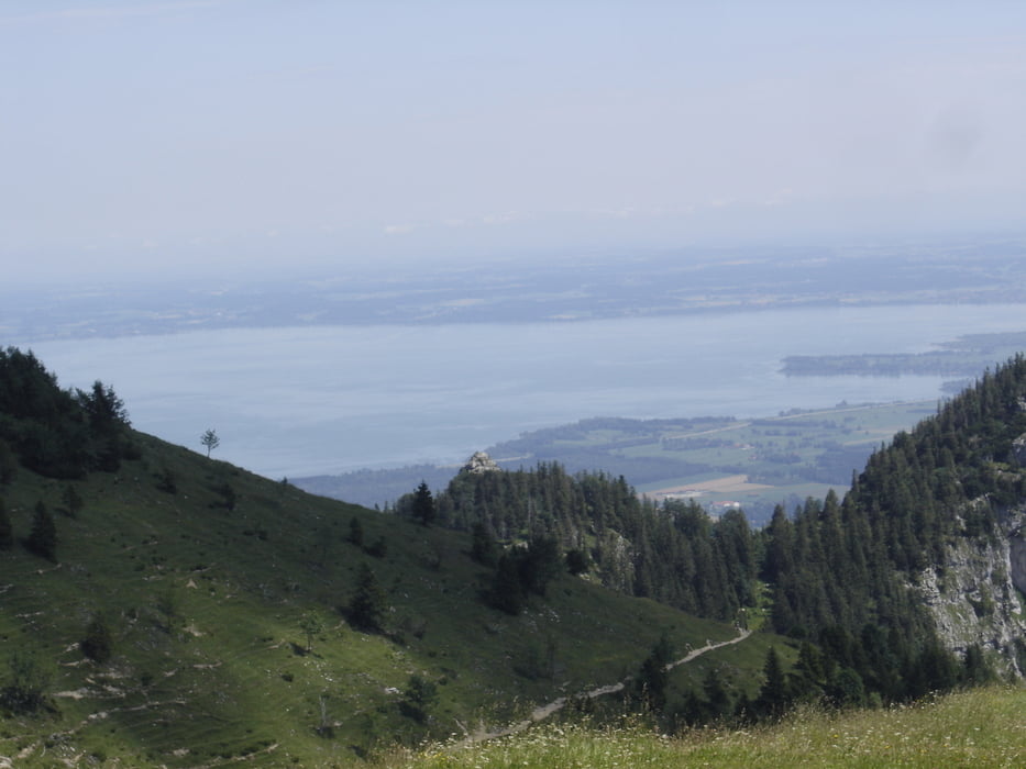
Nach der Rodelstrecke kommt man aus dem Wald heraus und fährt dann immer mit Blick auf Kampenwand hoch. Ab und zu Blick auf Chiemsee.
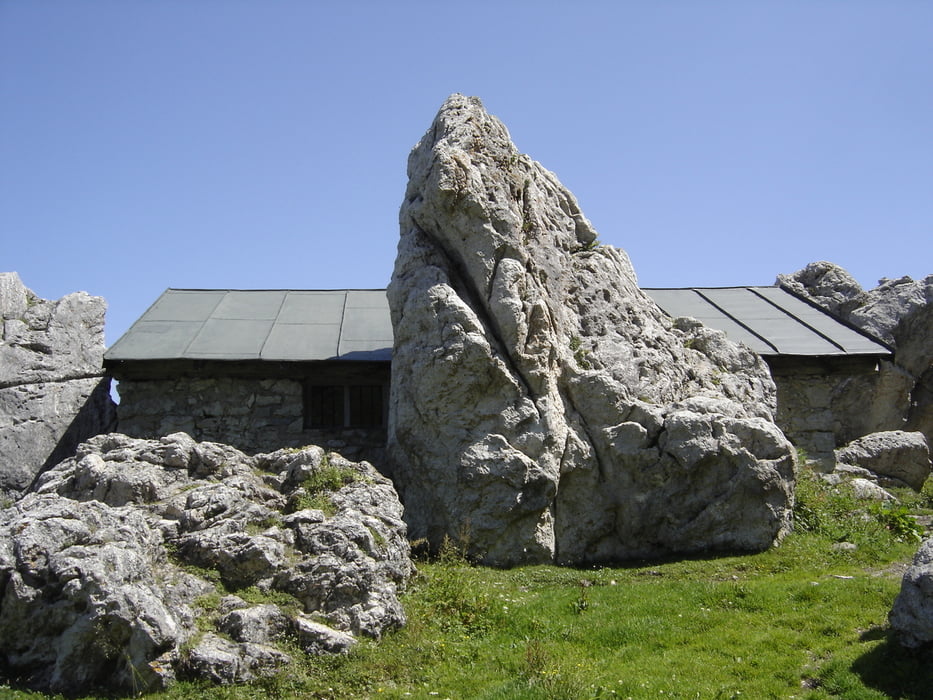
Einkehrmöglichkeiten gibts viele. Unser Ziel war die Steinlingalm.
Sehr gut als Konditionsübung geeignet. Viele sind hochgehirscht und sofort wieder runter. Denen ist aber der malerische Bach entlang der Rodelstrecke egal.
Beim Runterfahren hab ich vergessen mein GPS Tracker wieder anzuschalten. Deswegen enthält er nur die Auffahrt. Abfahrt ist aber identisch.
galéria trás
Mapa trasy a výškový profil
Minimum height 697 m
Maximum height 1513 m
More about the tour author

|
mkoebele |
komentáre

Parkplatz Kohlstattstrasse in Aschau im Chiemgau. Grosser Parkplatz. Von dort geht es sofort zur Sache.
GPS trasy
Trackpoints-
GPX / Garmin Map Source (gpx) download
-
TCX / Garmin Training Center® (tcx) download
-
CRS / Garmin Training Center® (crs) download
-
Google Earth (kml) download
-
G7ToWin (g7t) download
-
TTQV (trk) download
-
Overlay (ovl) download
-
Fugawi (txt) download
-
Kompass (DAV) Track (tk) download
-
list trasy (pdf) download
-
Original file of the author (gpx) download
More about the tour author
|
|
mkoebele |
Add to my favorites
Remove from my favorites
Edit tags
Open track
My score
Rate