


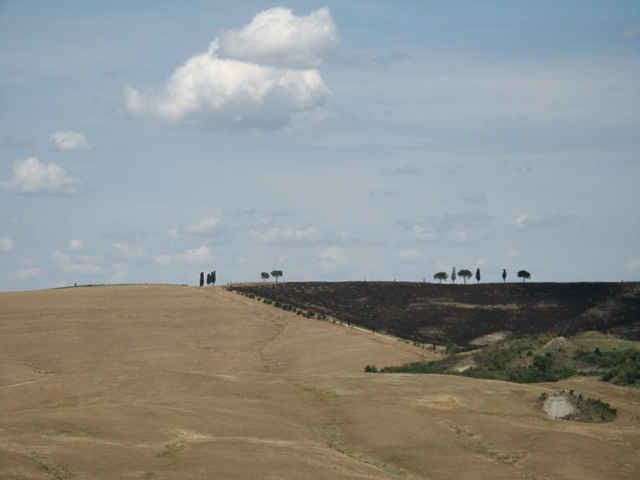
Rundtour, hinter St.Quirico gehts Bergauf und dann auf einem Wanderweg Single Trail steil runter. Nich ganz einfach "Fully" geeignet. Mit dem Tourenfahrrad ist das nicht zu empfehlen. Die Tour auf jeden Fall gegen den Uhrzeigersinn fahren ! sonst wird es so steil das gar nix mehr geht. In Bagno Vignoni - Pienza - St.Quirico kann man immer halt machen und die Innenstadt besichtigen, etwas trinken, tanken. Am Einstieg zum Singel Trail gibt es eine Trinkwasserquelle. In St. Quirico Zentralplatz in das Cafe Central gehen und pausieren. Ansonsten ist die Strecke "graval" also unbefestigt. Vor Pienza geht es steil den Berghoch, 80% der Durschnittsfahrer können dort hochfahren. Von Pienza auf der Strasse nach St. Querico tolle Abfahrt.
Further information at
http://de.wikipedia.org/wiki/Pienzagaléria trás
Mapa trasy a výškový profil
Minimum height 233 m
Maximum height 542 m
More about the tour author

|
kirchnj |
komentáre

Man kann die Tour in jeder Stadt starten. Pienza oder St.Quirico oder Bagno Vignoni.
Alle liegen ca. 30km südlich von Siena. Anfahrt auf der SR2 Richtung Süden. In der Nähe liegen auch Montalcinio und Montepulciano.
Alle liegen ca. 30km südlich von Siena. Anfahrt auf der SR2 Richtung Süden. In der Nähe liegen auch Montalcinio und Montepulciano.
GPS trasy
Trackpoints-
GPX / Garmin Map Source (gpx) download
-
TCX / Garmin Training Center® (tcx) download
-
CRS / Garmin Training Center® (crs) download
-
Google Earth (kml) download
-
G7ToWin (g7t) download
-
TTQV (trk) download
-
Overlay (ovl) download
-
Fugawi (txt) download
-
Kompass (DAV) Track (tk) download
-
list trasy (pdf) download
-
Original file of the author (gpx) download
More about the tour author
|
|
kirchnj |
Add to my favorites
Remove from my favorites
Edit tags
Open track
My score
Rate