
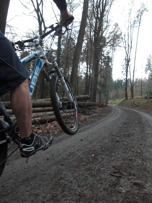

Vom Schöllerhofparkplatz gehts auf die schönen, fluffigen Altenbergtrails!
Welches Tal zuerst gewählt wird ist gleich-in beide Richtungen machen die Trails Spaß!
Allerdings sollte man nach der Sengbachetape direkt nach Oberburg fahren um den schönen Downhill nach Unterburg zu genießen.
Diese Runde hat ca. 60% Trailanteil, der Rest setzt sich aus schnell zu fahrenden Forstwegen und weitgehenst Autofreien Asphaltstrecken zusammen.
Eine schöne, schnelle, abwechslungsreiche Tour!
Lecker Happa-Happa und Cafe gibts in der Rausmühle oder lass dich in SchloßBurg von den Motor-Bikern zu Pommes-Currywurst einladen-du hast es dir verdient!
Proooost!!!
galéria trás


Mapa trasy a výškový profil
Minimum height 75 m
Maximum height 266 m
More about the tour author
|
|
TIMTIMnavigation |
komentáre
Gestartet wird vom Schöllerhof-Parkplatz-Nähe Altenberger Dom /Odenthal(Achtung!Sonntags sehr voll!)
Gut von der A1 aus zu erreichen.
GPS trasy
Trackpoints-
GPX / Garmin Map Source (gpx) download
-
TCX / Garmin Training Center® (tcx) download
-
CRS / Garmin Training Center® (crs) download
-
Google Earth (kml) download
-
G7ToWin (g7t) download
-
TTQV (trk) download
-
Overlay (ovl) download
-
Fugawi (txt) download
-
Kompass (DAV) Track (tk) download
-
list trasy (pdf) download
-
Original file of the author (gpx) download
More about the tour author
|
|
TIMTIMnavigation |
Add to my favorites
Remove from my favorites
Edit tags
Open track
My score
Rate
Ok