


Eine schöne MTB-Tour zur Burg Lichtenstein hoch und dann drum-rum.
Start und Ziel ist ein Parkplatz in Pfullingen. Wer nicht den ehemaligen Bahndamm entlang radeln will (geteerter Radweg) kann auch gleich bis nach Unterhausen fahren und dort parken.
Die Strecke ist bis auf wenige Kilometer auf Schotterwegen. Der Großteil sind Trails.
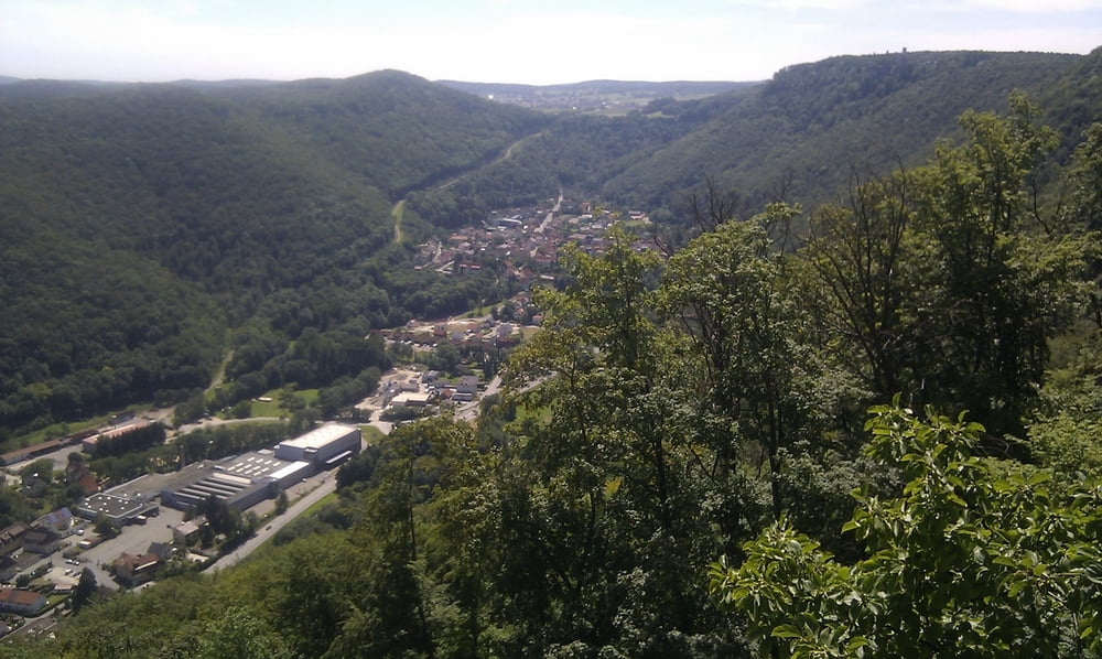
Bei der Burg Lichtenstein kann gut eingekehrt werden und wer noch nicht müde genug ist, kann gleich noch ne Runde auf dem Hochseilgarten hinter sich bringen... Es gibt unterwegs immer wieder schöne Aussichtspunkte, bei denen man auch so eine kleine Pause einlegen und die Aussicht genießen kann.
Bitte beachtet, dass in Baden-Württemberg eigentlich Wege die schmäler wie 2 Meter sind nicht mit dem Rad befahren werden dürfen - ich hatte selbstverständlich das Rad dann immer geschultert ;-)
Also falls ihr unterwegs Wanderern begegnet, denkt vielleicht an diese Regelung... Nun viel Spaß beim Nachfahren.
galéria trás
Mapa trasy a výškový profil
Minimum height 415 m
Maximum height 835 m
More about the tour author
|
|
Joghi-Baer |
komentáre

Von Reutlingen kommend nach Pfullingen fahren und dann auf den Parkplatz im Bereich des ehemaligen Bahndammes fahren, der führt dann leicht ansteigend nach Unterhausen.
GPS trasy
Trackpoints-
GPX / Garmin Map Source (gpx) download
-
TCX / Garmin Training Center® (tcx) download
-
CRS / Garmin Training Center® (crs) download
-
Google Earth (kml) download
-
G7ToWin (g7t) download
-
TTQV (trk) download
-
Overlay (ovl) download
-
Fugawi (txt) download
-
Kompass (DAV) Track (tk) download
-
list trasy (pdf) download
-
Original file of the author (gpx) download
More about the tour author
|
|
Joghi-Baer |
Add to my favorites
Remove from my favorites
Edit tags
Open track
My score
Rate