Login

Zabudli ste prihlasovacia meno

Cookies have to be accepted!
Your browser's cookie functionality is disabled. Please enable this functionality.

Not a member yet?

Register now
Login

Available for registred users only

Log in to use this feature.

Zabudli ste prihlasovacia meno

Cookies have to be accepted!
Your browser's cookie functionality is disabled. Please enable this functionality.

Not a member yet?

Register now
Filter
Kategórie
Advanced filters
  • Dĺžka (km)
  • výškomer
Uložiť filter Reset filter

TrackRank

QRCode

Technical data

Dĺžka6,6 km výškomer563 m Way down557 m Doba00:00 h:m dátum21.07.2011
ohodnotenia Author Kraj pôžitok z túry kondícia technika

štatistika

567 náhľady ohodnotenia 19 Stiahnutia priemer
Rate
  • list trasy
  • príjazd
  • Stiahnutia

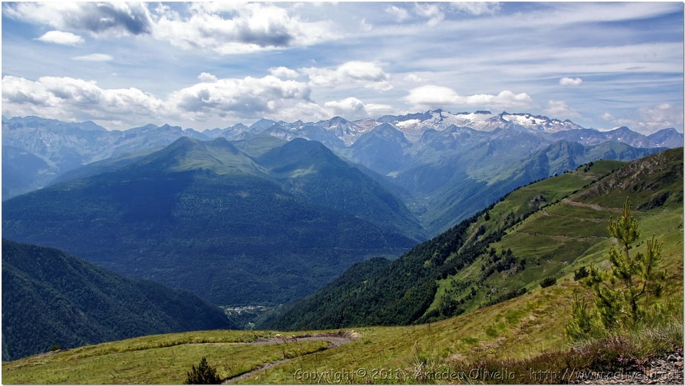
 Excursió al Montlude (2.518 m.)
Vilamós - Plan d’Uishèra - Estanh Long i Redon de Vilamòs - Còth der Estanh - Vall d'Aran - 16 de juliol de 2011

Further information at

http://www.aolivella.cat/Muntanya/Estiu/Vall_Aran_2011/Montlude/index.html

galéria trás

Mapa trasy a výškový profil

  • Open Street Map
  • Google
Minimum height 1996 m Maximum height 2520 m Detailný pohľad

More about the tour author

amadeu
Member since 2011

Send private message

komentáre

GPS trasy

Trackpoints
  • GPX / Garmin Map Source (gpx) download
  • TCX / Garmin Training Center® (tcx) download
  • CRS / Garmin Training Center® (crs) download
  • Google Earth (kml) download
  • G7ToWin (g7t) download
  • TTQV (trk) download
  • Overlay (ovl) download
  • Fugawi (txt) download
  • Kompass (DAV) Track (tk) download
  • list trasy (pdf) download
  • Original file of the author (gpx) download

More about the tour author

amadeu
Member since 2011

Send private message
Share track
Add to my favorites
Remove from my favorites
Edit tags
My score
Rate
trasa: Excursió al Montlude
Druh: horská trasa
Dĺžka: 6,6 km
Evaluated on:
Doba:
Day(s)
Hour(s)
Minute(s)
ohodnotenie: Kraj pôžitok z túry kondícia technika