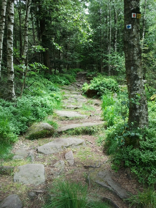
Start am Bahnhof Bad Herrenalb. Bis auf eine kurze Rampe zu Beginn weitestgehend gleichmäßige Auffahrt nach Dobel, weiter auf Waldwegen zum Einstieg "Teuefelsmühlentrail". Obwohl oder weil der Trailauf der Höhe verläuft und kaum Gefälle hat, ist er technisch sehr anspruchsvoll. Kurze Stücke verwandeln sich auch für gute Fahrer in Tragepassagen (daher ein Punkt Abzug beim Spaßfaktor, und volle Punktzahl bei der Fahrtechnik).
Päuschen in der Teufelsmühle. Aussichtspunkt hinter der Hütte ist genial!
Danach zu Beginn sehr anspruchsvolle (weil steile und mit Spitzkehren durchsetzte) Abfahrt auf Single-Trails vorbei am Teufelsloch, lohnt sich aber, weil danach genial flowige Single-Trails kommen.
Ab dem Bergstübel zum Käppele kommt der letzte lange, aber gleichmäßige Anstieg. Die Abfahrt nach Hörden ist ohne Ausnahme flowig und wunderschön lang auf Single-Trails - genial! Volle Punktzahl für den Spaßfaktor!
Die Tour ist nur bei trockenen Bedingungen zu empfehlen.
galéria trás
Mapa trasy a výškový profil
komentáre

Zurück: Mit der S-Bahn ab Hörden.
GPS trasy
Trackpoints-
GPX / Garmin Map Source (gpx) download
-
TCX / Garmin Training Center® (tcx) download
-
CRS / Garmin Training Center® (crs) download
-
Google Earth (kml) download
-
G7ToWin (g7t) download
-
TTQV (trk) download
-
Overlay (ovl) download
-
Fugawi (txt) download
-
Kompass (DAV) Track (tk) download
-
list trasy (pdf) download
-
Original file of the author (gpx) download


