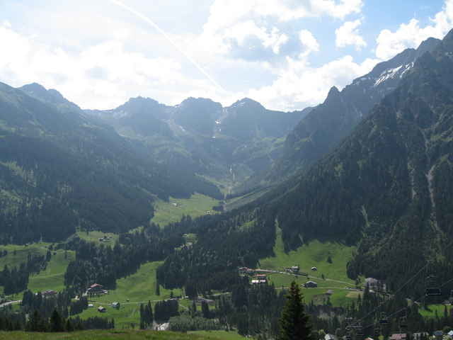
Die Tour startet in Hirschegg am Walserhaus und entspricht weitgehend der Tour 4 aus der Bike-Map die es kostenlos bei Kleinwalsertal Tourismus (www.kleinwalsertal.com) gibt. Der letzte Teil zur Bärgunthütte habe ich nicht gemacht. (Gewitter) Alternativ kann man den direkt an der Stutzalpe beginnenden Trail fahren. (Nur bei Trockenheit zu empfehlen) Der Trail mündet wieder auf der Route.
Further information at
http://www.walser-chalet.de/stutz_alpe/stutz_alpe.htmgaléria trás
Mapa trasy a výškový profil
Minimum height 1124 m
Maximum height 1505 m
komentáre

GPS trasy
Trackpoints-
GPX / Garmin Map Source (gpx) download
-
TCX / Garmin Training Center® (tcx) download
-
CRS / Garmin Training Center® (crs) download
-
Google Earth (kml) download
-
G7ToWin (g7t) download
-
TTQV (trk) download
-
Overlay (ovl) download
-
Fugawi (txt) download
-
Kompass (DAV) Track (tk) download
-
list trasy (pdf) download
-
Original file of the author (gpx) download
Add to my favorites
Remove from my favorites
Edit tags
Open track
My score
Rate


