Login

Zabudli ste prihlasovacia meno

Cookies have to be accepted!
Your browser's cookie functionality is disabled. Please enable this functionality.

Not a member yet?

Register now
Login

Available for registred users only

Log in to use this feature.

Zabudli ste prihlasovacia meno

Cookies have to be accepted!
Your browser's cookie functionality is disabled. Please enable this functionality.

Not a member yet?

Register now
Filter
Kategórie
Advanced filters
  • Dĺžka (km)
  • výškomer
Uložiť filter Reset filter

TrackRank

QRCode

Technical data

Dĺžka26,6 km výškomer837 m Way down860 m Doba03:00 h:m dátum30.07.2011
ohodnotenia Author User Kraj pôžitok z túry kondícia technika

štatistika

1027 náhľady 1 ohodnotenie 172 Stiahnutia 5.00 priemer
Rate
  • list trasy
  • príjazd
  • Stiahnutia
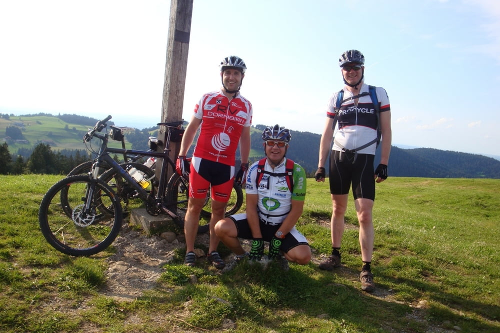
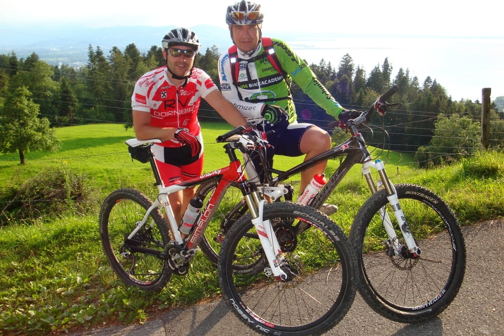
Von der Landesbibliothek Bregenz geht es über das Wirtatobel auf den Hirschberg. Bei der Hirschberg Alpe besteht die Möglichkeit sich zu stärken. Danach führt die Route zum Gipfelkreuz und auf der anderen Seite auf einem kurzen Trail in einen Forstweg wieder zurück zum Wirtatobel und nach Jungholz. Von dort geht es in Richtung Pfänder um dann abzubiegen und über Juggen/Eichenberg nach Lochau zu fahren.

galéria trás

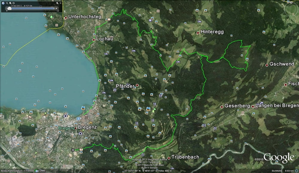
Mapa trasy a výškový profil

  • Open Street Map
  • Google
Minimum height 408 m Maximum height 1094 m Detailný pohľad

More about the tour author

fume1973
Member since 2011

Send private message

komentáre

GPS trasy

Trackpoints
  • GPX / Garmin Map Source (gpx) download
  • TCX / Garmin Training Center® (tcx) download
  • CRS / Garmin Training Center® (crs) download
  • Google Earth (kml) download
  • G7ToWin (g7t) download
  • TTQV (trk) download
  • Overlay (ovl) download
  • Fugawi (txt) download
  • Kompass (DAV) Track (tk) download
  • list trasy (pdf) download
  • Original file of the author (gpx) download

More about the tour author

fume1973
Member since 2011

Send private message
Share track
Add to my favorites
Remove from my favorites
Edit tags
My score
Rate
trasa: Hirschberg
Druh: horský bicykel
Dĺžka: 26,6 km
Evaluated on:
Doba:
Day(s)
Hour(s)
Minute(s)
ohodnotenie: Kraj pôžitok z túry kondícia technika