
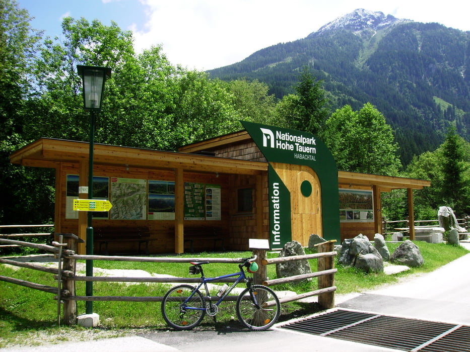

Die ersten 5 km von der Haltestelle Wenns bis zum Beginn des Habachtals dienen zum Aufwärmen der Muskeln. Auf den nächsten 7 Kilometer bis zur Moa Alm werden 530 Höhenmeter überwunden. Der "Hüttenwirt" der Moa Alm gibt einen gerne einen Einblick in seine Tätigkeit und wurde auch schon von unserem Bundespräsidenten besucht. Und welch ein Zufall, Dr. Fischer fand doch glatt einen Smaragd (ich vermute, den hat vorher ein Begleiter "verloren"). An dieser Stelle möchte ich auf die herrliche, gigantische Bergwelt des Oberpinzgaus (Nationalparks) hinweisen.
Nach einer sehr guten Käsejause wird die Rückfahrt angetreten. Über Mittersill und Kaprun wird der Bahnhof in Taxenbach angesteuert.
Nach einer sehr guten Käsejause wird die Rückfahrt angetreten. Über Mittersill und Kaprun wird der Bahnhof in Taxenbach angesteuert.
galéria trás


Mapa trasy a výškový profil
Minimum height 717 m
Maximum height 1405 m
More about the tour author

|
Hafi |
komentáre

GPS trasy
Trackpoints-
GPX / Garmin Map Source (gpx) download
-
TCX / Garmin Training Center® (tcx) download
-
CRS / Garmin Training Center® (crs) download
-
Google Earth (kml) download
-
G7ToWin (g7t) download
-
TTQV (trk) download
-
Overlay (ovl) download
-
Fugawi (txt) download
-
Kompass (DAV) Track (tk) download
-
list trasy (pdf) download
-
Original file of the author (gpx) download
More about the tour author
|
|
Hafi |
Add to my favorites
Remove from my favorites
Edit tags
Open track
My score
Rate