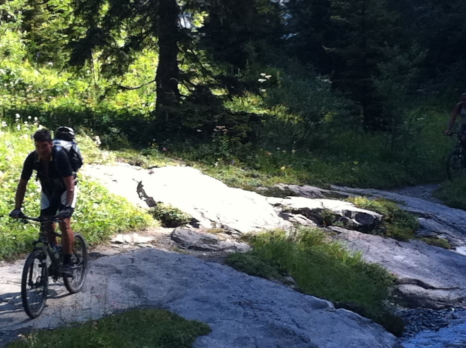
Von Kandersteg bis an die Talstation Sunnbüel. Von dort den Wanderweg (sehr steil) Richtung Sunnbüel Alm. Achtung zum Teil ein Steig mit Seilsicheung.
Auf Höhe der Sunnbüel dann durchgehend Fahrbar bis zum Gemmipass.
Achtung Verbotsschild am Gemmipass für MTB. Gemmipass nach Leukerbad ist nur zum Teil fahrbar, da viele Stufen verbaut sind. Ist am Wochenende mit Sicherheit nicht zu empfehlen. Teilpassagen können gefahren werden. Die gesamte Wegstecke ist durchgängig an Absturzstellen gesichert.
galéria trás
Mapa trasy a výškový profil
Minimum height 638 m
Maximum height 2317 m
komentáre

GPS trasy
Trackpoints-
GPX / Garmin Map Source (gpx) download
-
TCX / Garmin Training Center® (tcx) download
-
CRS / Garmin Training Center® (crs) download
-
Google Earth (kml) download
-
G7ToWin (g7t) download
-
TTQV (trk) download
-
Overlay (ovl) download
-
Fugawi (txt) download
-
Kompass (DAV) Track (tk) download
-
list trasy (pdf) download
-
Original file of the author (gpx) download
Add to my favorites
Remove from my favorites
Edit tags
Open track
My score
Rate


