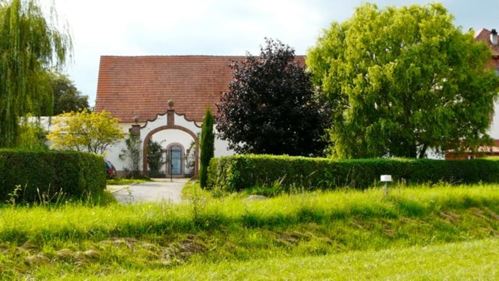
Anstrengend - aber einfach nur schööön ...
Hier wieder nur kurz die wichtigsten Wegpunkte. Ausgangspunkt ist
- Parkplatz am Schwimmbad von Bad Bergzabern
- Firstweg Richtung alte Weinstraße
- Links über eine Brücke
- Dann rechts Richtung Oberotterbach
- Schweigen (Tipp: Einkehrmöglichkeit im s'PanORama)
- Wissembourg
- Seebach
- Hunspach
- Bremmelbach
- Cleebourg (Tipp: Rasten an der Weinkellerei)
- Rott
- Wissembourg
- Altenstadt
- Haftelhof
- Bad Bergzabern
Einkehrmöglichkeiten gibt es in jedem Dorf.
Further information at
http://www.ot-wissembourg.fr/site/galéria trás
Mapa trasy a výškový profil
Minimum height 139 m
Maximum height 248 m
komentáre

Bad Bergzabern - Weinstraße - Abzweigung Schulzentrum Schwimmbad
GPS trasy
Trackpoints-
GPX / Garmin Map Source (gpx) download
-
TCX / Garmin Training Center® (tcx) download
-
CRS / Garmin Training Center® (crs) download
-
Google Earth (kml) download
-
G7ToWin (g7t) download
-
TTQV (trk) download
-
Overlay (ovl) download
-
Fugawi (txt) download
-
Kompass (DAV) Track (tk) download
-
list trasy (pdf) download
-
Original file of the author (gpx) download
Add to my favorites
Remove from my favorites
Edit tags
Open track
My score
Rate


