


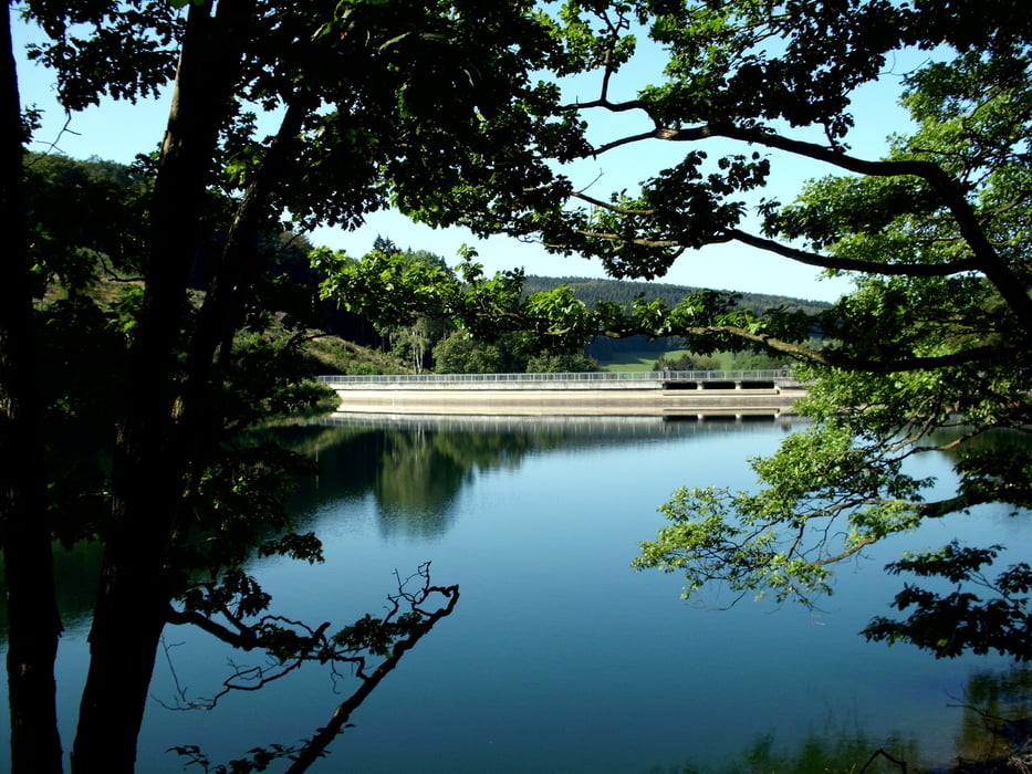
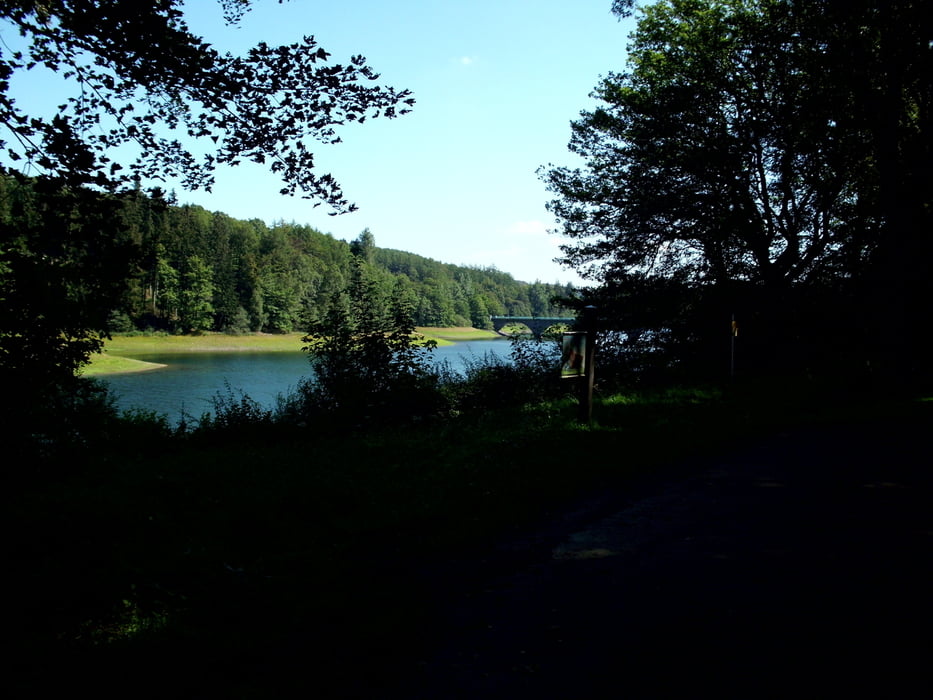
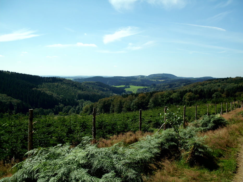
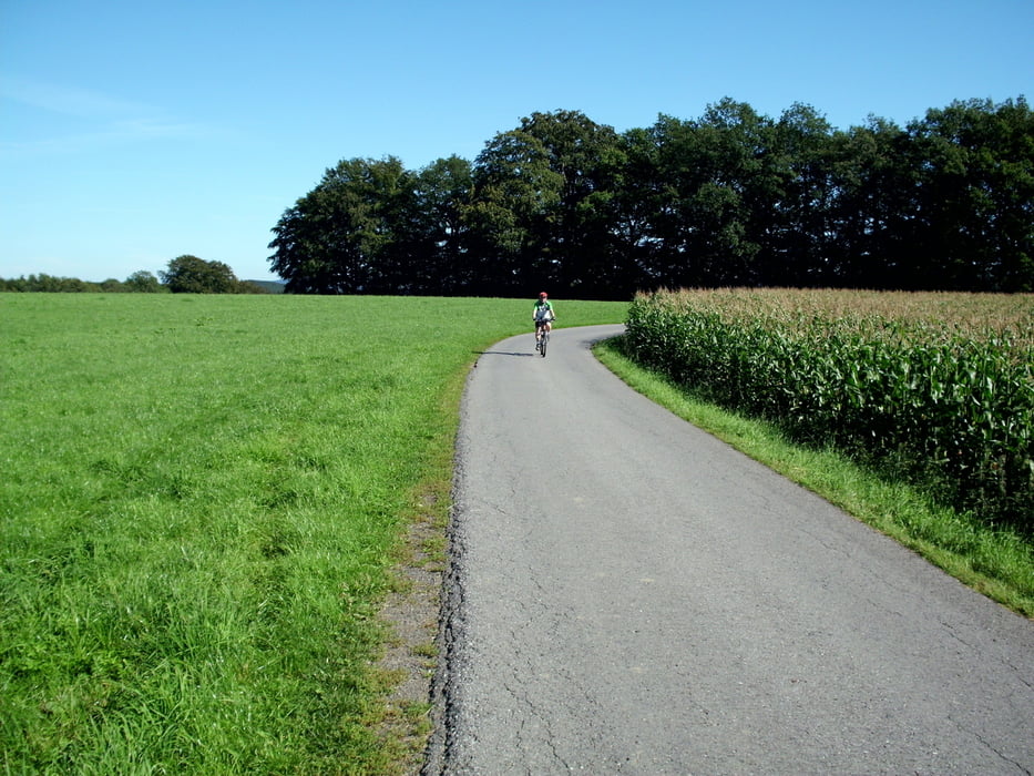
Tolle Tour durch die sauerländischen Berge, den Höhenflug nicht zu vergessen. Teilweise mussten wir wegen der starken Regenfälle an den Tagen vorher (Wege und Wiesen waren sehr tief) schieben. In einer "Bergabmatsch-und Geröllstrecke" haben wir kapituliert und unsere eigentliche Route geändert und sind auf dem SauerlandHöhenflug mit tollen Ausblicken gelandet. In der Rückschau nicht schlecht.
Further information at
http://www.sauerland-hoehenflug.de/Der-Sauerland-Hoehenflug/Markierung-und-Beschilderunggaléria trás
Mapa trasy a výškový profil
Minimum height 284 m
Maximum height 581 m
More about the tour author
|
|
neuser |
komentáre

GPS trasy
Trackpoints-
GPX / Garmin Map Source (gpx) download
-
TCX / Garmin Training Center® (tcx) download
-
CRS / Garmin Training Center® (crs) download
-
Google Earth (kml) download
-
G7ToWin (g7t) download
-
TTQV (trk) download
-
Overlay (ovl) download
-
Fugawi (txt) download
-
Kompass (DAV) Track (tk) download
-
list trasy (pdf) download
-
Original file of the author (gpx) download
More about the tour author
|
|
neuser |
Add to my favorites
Remove from my favorites
Edit tags
Open track
My score
Rate